
Διαβάστε το άρθρο στα ελληνικά.
Find your own Greek properties by AFM: the official route to the KAEK
On this page
Use the Taxisnet service to find your own Greek properties, retrieve their identifiers and investigate missing results without sharing a seller’s login.
This guide is a preliminary screen for a cost or timing question, not legal, surveying, engineering or tax advice; read the full scope and limits before relying on it.
Have a specific plot in mind? The map checks from this guide can be run on it, with source and date, for EUR 29 total · VAT included. Pin it on the map →
The official route to properties linked to your Greek tax number, AFM, is the Hellenic Cadastre's service Access to the cadastral information of my properties. You sign in with your own Taxisnet credentials. It is not a public search where you enter another person's AFM to reveal their property holdings s1, s2.
If a property is missing, do not conclude that it has no KAEK or that the owner has lost the right. The authority identifies possible causes including a missing AFM match and a rejected declared right, and directs users to the competent cadastral office s1. Official sources checked on 2 November 2026.
What AFM does in this service
AFM is the person's tax identifier; KAEK identifies the cadastral property. The official manual describes the authenticated person's results appearing from the AFM recorded in the cadastral information. The service page concerns people registered as owners or usufruct holders and draws information directly from the digital cadastral database s1.
For a prospective buyer, that means a seller can obtain relevant information through their own account. Ask them for the appropriate document or work through a properly authorised professional. Do not request their Taxisnet password as a substitute for getting the papers.
Keep identification separate from the legal purchase review. A list associated with a person's account is useful evidence to investigate; deciding which rights can be transferred requires the appropriate documents and professional review.
Follow the published personal-access route
Start from the official service page and use its entry link. The manual linked there describes the following workflow s2:
- Authenticate using your personal Taxisnet credentials.
- Review the properties returned for the authenticated person's recorded identity.
- Select the relevant property and check its identifier and description.
- Open descriptive information, spatial information or the map as appropriate.
- Keep the relevant downloaded file and its retrieval date with the title document you are comparing.
If several entries are in the same village, do not choose one just because the locality looks familiar. Match each property to the relevant documents. Maintain a separate row for each element included in a proposed sale.
Choose the descriptive record or the spatial output deliberately
The manual distinguishes Απόσπασμα περιγραφικής βάσης, the descriptive-database extract, Απόσπασμα χωρικής βάσης, the spatial-database extract, and Εμφάνιση στο χάρτη, display on the map. It describes PDF outputs for the first two.
Use those original labels when asking a Greek adviser to explain what has been supplied. “Cadastre screenshot” is too vague when the question concerns the recorded right rather than just where the land lies.
The public document is the worked evidence here: its separate functions establish that opening a map and examining the descriptive record are different actions. We are not claiming to have entered an owner's account or searched private property records.
If a lawyer or notary requests an αντίγραφο κτηματολογικού φύλλου, or cadastral sheet copy, ask whether the separate issuance procedure is required. The certificate-request service and official procedure register) describe that process. Do not assume every personal-view PDF fulfils every formal request.
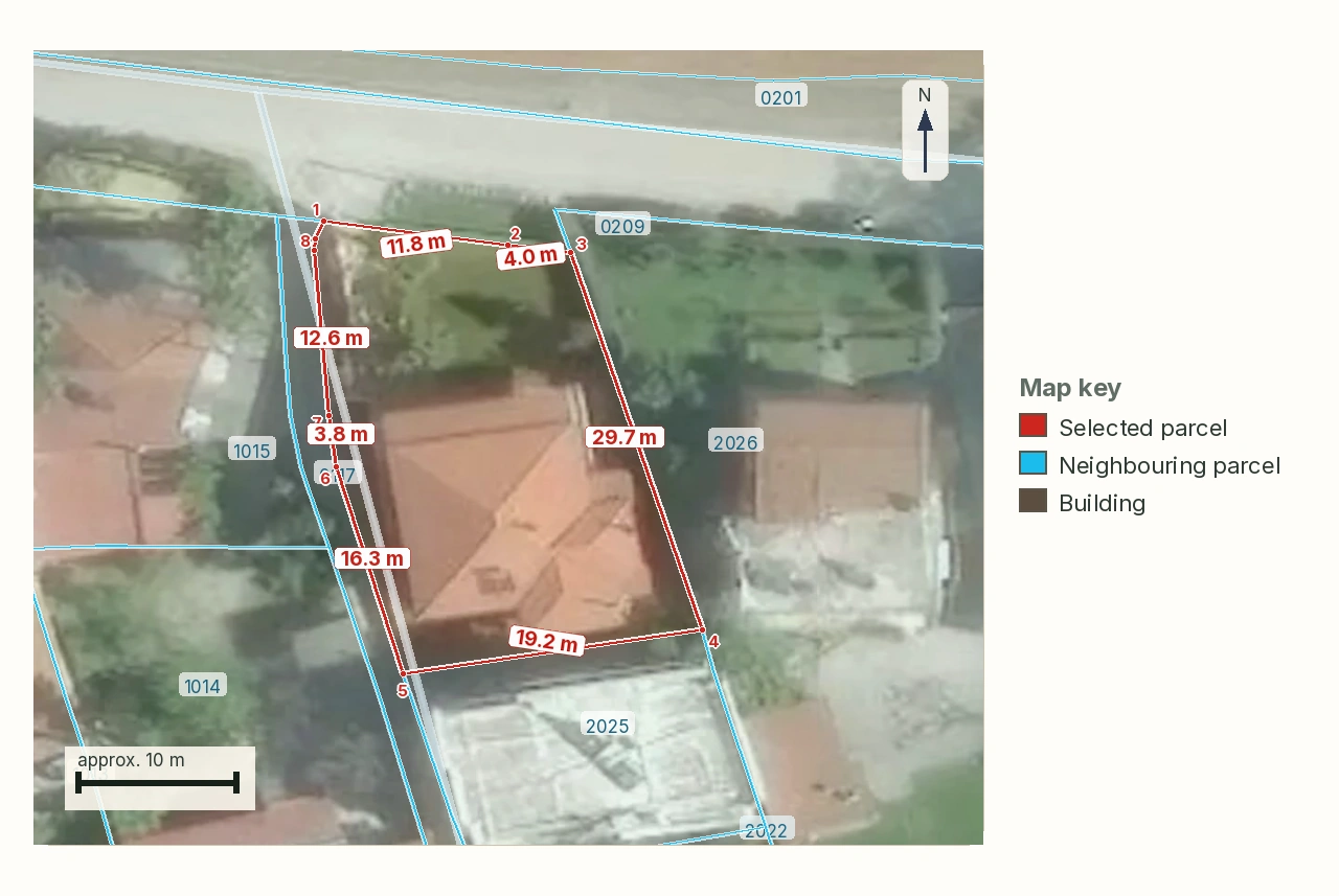
To compare the identified parcel with available territorial map layers, open the LandCheck map. A report costs €29 in one language or €39 in two; read the sample report first.
Investigate a missing result at the correct level
The authority's instruction is to contact the competent cadastral office for research and guidance when the search returns no relevant results. Prepare the property's location, title document and any earlier cadastral identifier. Explain whether the account shows nothing or only omits the particular property.
Do not try to repair the situation by changing digits until the system produces a different parcel. A successful search using altered identifiers does not establish a connection to your title.
Nor should you confuse a profile correction with a property-record correction. The manual states that updating profile information does not update cadastral entries. It separately explains that certain greyed-out fields come from AADE's register and cannot be changed through that application.
For an overseas owner, keep those issues in separate requests. An address correction, an AFM association issue and a question about a registered right may need different evidence. Ask the authority to identify the relevant procedure rather than assuming one profile edit resolves them all.
Keep the cost and timing claims limited to the service
The personal-research manual describes the access as free of charge. That does not make every separately issued cadastral document free. The certificate service describes its own request-and-payment workflow.
For a simple comparison exercise, suppose the account shows three properties while the sale concerns two. The lists differ by one entry, but that count does not establish which two will transfer. Match each proposed sale item to its identifier and supporting document.
No fixed resolution time is stated here for an AFM mismatch. Ask the cadastral office what procedure applies, and have your purchase adviser establish what must be clarified before you commit funds.
A practical document request for a buyer abroad
Ask the seller to identify the property selected in their account and provide the relevant descriptive and spatial information without unrelated personal material. Send the original Greek labels and identifiers to your adviser together with the sale description.
Ask the adviser to mark any mismatch between the returned record, title and offered property. Our cadastre-and-deed mismatch guide covers that broader comparison. The personal-account workflow gets the evidence into view; it does not settle every issue the evidence may reveal.
Once you have the correct parcel, select it on the LandCheck map for an initial review of available territorial information. The sample report shows its scope. This is preliminary screening and does not replace legal advice or a survey.
Sources
- Ελληνικό Κτηματολόγιο: πρόσβαση στα στοιχεία των ακινήτων μου (accessed 2 November 2026).
- Ελληνικό Κτηματολόγιο: εγχειρίδιο ηλεκτρονικής έρευνας πολιτών (accessed 2 November 2026).
- Ελληνικό Κτηματολόγιο: αιτήσεις έκδοσης πιστοποιητικών (accessed 2 November 2026).
- Μίτος: Αντίγραφο Κτηματολογικού Φύλλου) (accessed 2 November 2026).
Common questions
Can I search the seller's AFM without their account?
The described service authenticates the user through Taxisnet and relates their identity to their properties s1, s2. Request documents or appropriate professional assistance rather than using another person's credentials.
Does an empty result prove there is no property?
No. The authority lists possible matching and registration issues and directs users to the competent office s1. Investigate the missing result before drawing a legal conclusion.
Will changing my account address change the cadastral entry?
The manual explicitly separates profile updates from updates to cadastral entries s2. Ask which correction procedure your actual issue needs.
Is a personal-access PDF always the requested cadastral sheet copy?
Confirm the recipient's required document. The authority describes personal research s1 and certificate issuance s3 as separate services.
Keep reading
Check this on your own parcel
To compare the identified parcel with available territorial map layers, open the LandCheck map. A report costs €29 in one language or €39 in two; read the sample report first. EUR 29 total · VAT included.