
Buyer guide
Know what you are buying.
Every guide below is written from parcels we have actually read: the official maps, the law that governs each one, and the paper that settles it. Grouped in the order the checks are worth running.
Fatal risks
The flags that end a deal outright. Run these before you spend anything.
 Restrictions
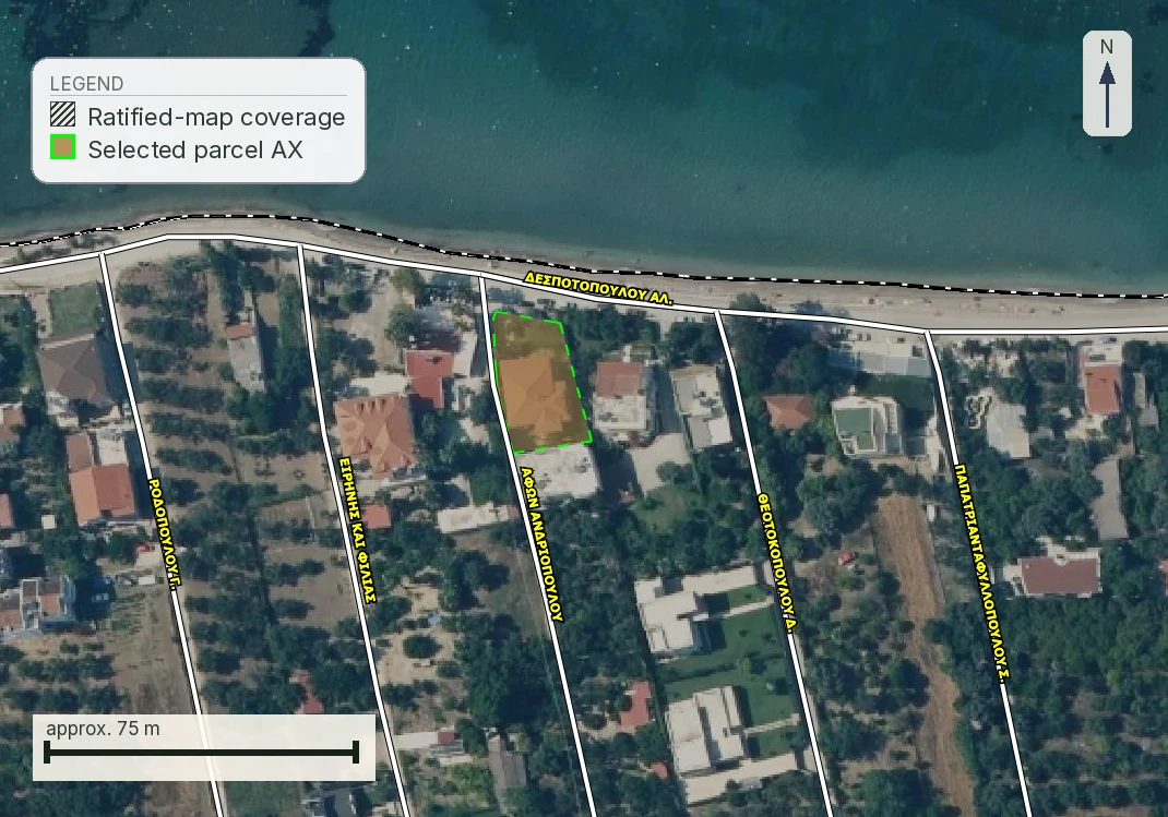
The Greek forest map (δασικός χάρτης): codes, αναδασωτέα and how to check a plot yourself
The check most likely to end a Greek land purchase, read from the official viewer: every character code in the published legend, where αναδασωτέα actually hides, and four real parcels with four different answers.
35 min readRead guide →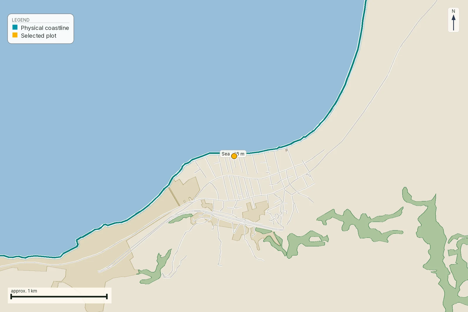 Coastal
The coastal zone (αιγιαλός): buying near the sea in Greece
The three shore lines with the paragraph behind each: what αιγιαλός, παραλία and παλαιός αιγιαλός actually are, the 100 m rule that voids a permit issued without a delimitation, who the famous 50 m setback really binds, and how to find out whether your stretch has a line at all.
37 min readRead guide → Can you build
Everything that can stop you building in Greece: the restriction stack
Fourteen separate restrictions decide whether a Greek plot can carry a house. Nine offices keep thirteen of them and nobody keeps the fourteenth. Which end a purchase, which only change the price, who can lift each one, what stage each register is at, and the order to check them in.
49 min readRead guide → Forest and title
Buying forest-flagged land in Greece: ΔΑ, ΑΔ, ΔΔ, objections and αναδασωτέα
How to separate ΔΑ, ΑΔ, ΔΔ, ΑΝ, outside posting, pending and accepted objections, and what to demand before a deposit.
21 min readRead guide →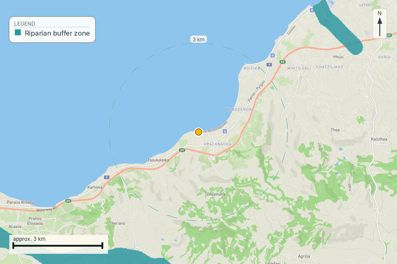 Water and planning
Streams and ρέματα in Greece: the setback a map cannot invent
The parcel at Νέα Προποντίδα, Χαλκιδική is close to an official modelled flood corridor. The buyer's next question is the stream act, its lines and its stage, not a number copied from a flood map.
16 min readRead guide →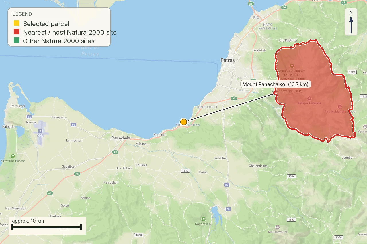 Environment
Natura 2000 and Greek property: a confirmed finding, not a flag
A real Greek parcel sits 1,848 metres inside a Natura 2000 bird reserve on farmland. Five more, tested the same way, sit outside theirs, one by only 127 metres. See what actually changes and what does not.
17 min readRead guide →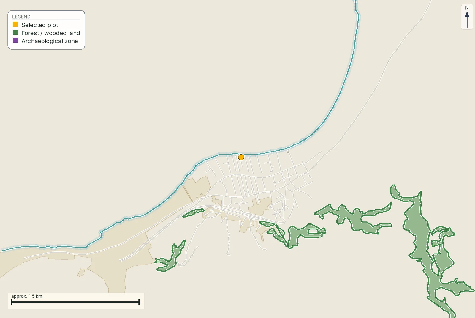 Cultural heritage
Archaeological sites and Greek property: check the archaeological cadastre before you buy
A map hit near an archaeological site sends you to the protection act and the proposed works, not to a verdict on the purchase.
19 min readRead guide →Can you build
Whether this plot carries a house at all, and how much of one.
 Building and permits
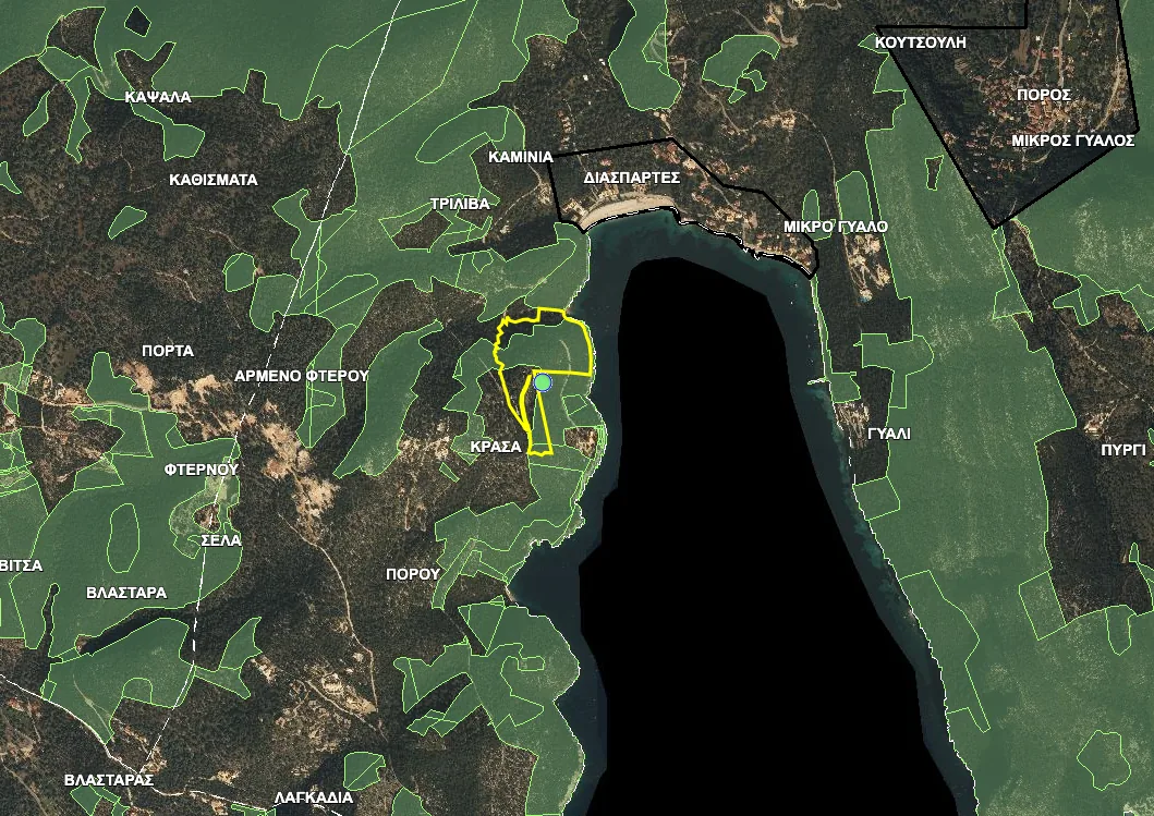
Can You Put a Prefab or Tiny House on Land in Greece?
A prefab can change how a Greek home is made, but it does not bypass the parcel, access, planning and permit tests. Here is how to check the land before ordering the house.
14 min readRead guide → Buyer guide
Buying land in Greece: the pre-purchase checklist, in the order the payments fall
Every pre-purchase check on a Greek plot, priced, and placed against the payment it has to be finished before: the free hour that answers most of it, the six questions that can still end a purchase, and the papers ν. 5306/2026 and the tax code oblige the notary to attach.
34 min readRead guide → Can you build
In-plan vs out-of-plan land in Greece: what you can build
Greek land sits in one of three planning regimes, and the same four στρέμματα carry 186 m² of house in one of them and several hundred in another. What draws each line, what crossing it costs in land and money, and how you establish which side a specific plot is on.
32 min readRead guide → Can you build
What makes a Greek plot buildable: άρτιο, οικοδομήσιμο and the 4,000 m² rule
The two tests every Greek plot has to pass, the derogation tiers for plots under 4,000 m², the 2022 filing cut-off, and the 30 June 2027 date by which the permit application itself has to be lodged.
38 min readRead guide → Can you build
Legal road access in Greece: what πρόσωπο σε κοινόχρηστη οδό means, and how a road becomes public
Why a road one metre away can still leave a plot unbuildable: what κοινόχρηστη οδός means, how a road is recognised, what ΣτΕ Ολομ. 176/2023 closed off, and the difference between an easement and frontage.
40 min readRead guide → Can you build
Planning terms and land use in Greece: reading όροι δόμησης and checking them yourself
What a plot may carry once it is buildable: συντελεστής δόμησης, κάλυψη and height with the arithmetic shown, what a land-use zone forbids anyway, how to query the Ενιαίος Ψηφιακός Χάρτης yourself, and how to read the ΦΕΚ the portal only points at.
36 min readRead guide → Architecture
Buying in a Greek Traditional Settlement: Listed Buildings, Design Rules and Permits
A traditional settlement and a listed building are related but different checks. The designation act, boundary and proposed work must travel together.
17 min readRead guide → Land and planning
Buying agricultural land in Greece: the checks before you pay
Agricultural land is a purpose and planning question before it is a lifestyle purchase. A listing can call a field fertile, buildable, accessible or suitable for a home, but those labels may describe different evidence. Greek official material treats high-productivity agricultural land as a protected resource and separately publishes planning, land-use and cadastral information. None of those labels alone grants a house, a private road or a water connection.
17 min readRead guide → Roads and public measures
Planned roads and expropriation in Greece: what a property buyer must verify
A line on a planning map can affect a future building footprint, access, resale and negotiation, but it is not automatically a completed expropriation. Greek public records distinguish planning instruments, road projects, declarations, compensation steps and completion. This guide gives a buyer a disciplined route to the controlling document without claiming that a mapped road will certainly be built or that compensation is already owed.
17 min readRead guide →Title and boundaries
What the cadastre says, what it does not say, and where the two disagree with the deed.
 Legal
LegalΑυθαίρετα and τακτοποίηση: the unpermitted structure that voids a Greek deed
What ν. 4495/2017 calls an αυθαίρετο, the five κατηγορίες and the four still open, what a τακτοποίηση actually buys, the ground on which nothing can ever be settled, the βεβαίωση μηχανικού and the Ηλεκτρονική Ταυτότητα Κτιρίου, and how to cost it before you offer.
32 min readRead guide → Legal
LegalBorder areas and foreign buyers: the ban of ν. 1892/1990, who it reaches and how it is lifted
Since 2011 the acquisition ban reaches only buyers with citizenship or a company seat outside the EU and EFTA, and the areas are a closed list rewritten in 2014. A deed signed without the committee's decision is void outright, a harsher consequence than any fine.
33 min readRead guide →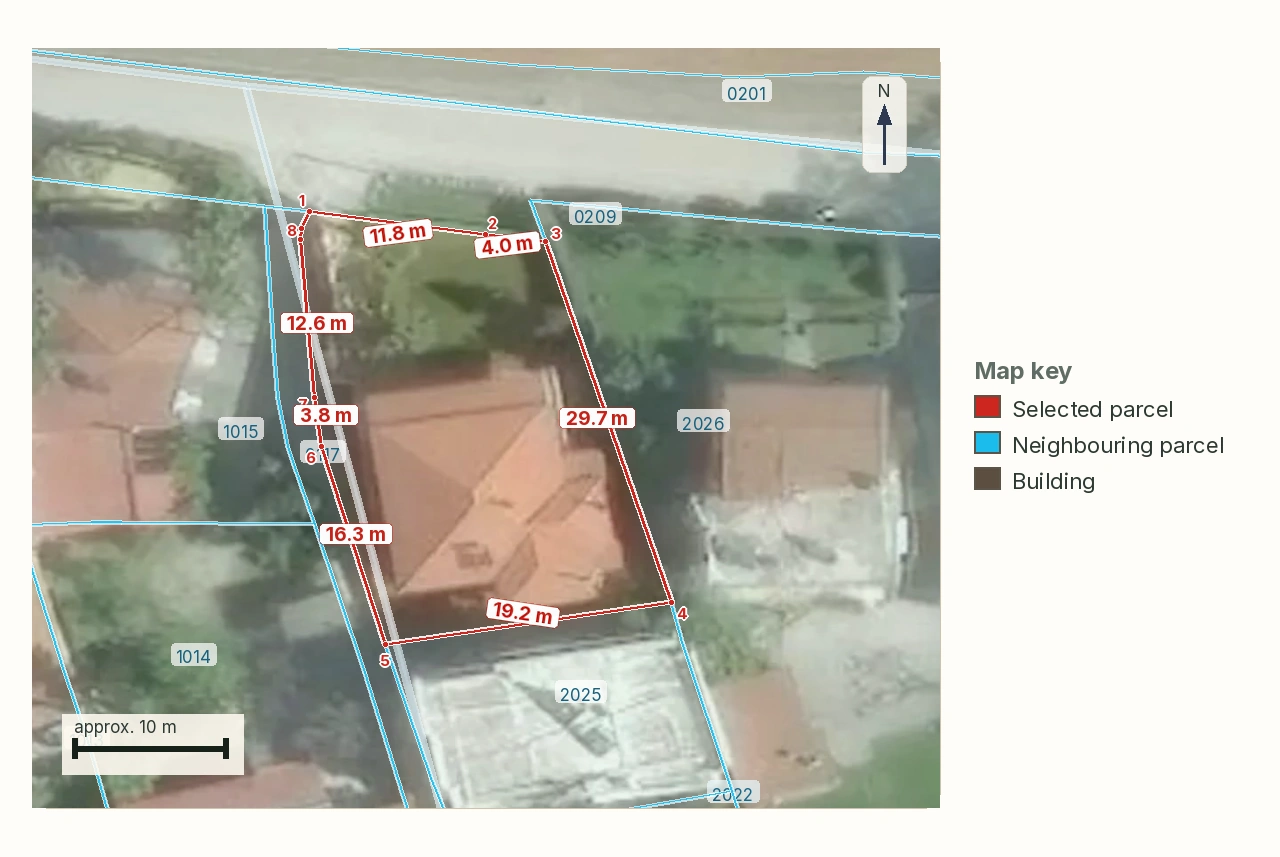 Cadastre
ΚΑΕΚ and the Greek cadastre: reading the code, and the deadline behind it
Every registered parcel in Greece carries a twelve-digit code. What each group of digits identifies, which of four stages your plot's municipality is in, the dated deadline after which a wrong entry becomes unchallengeable, and the three routes to correct one.
24 min readRead guide →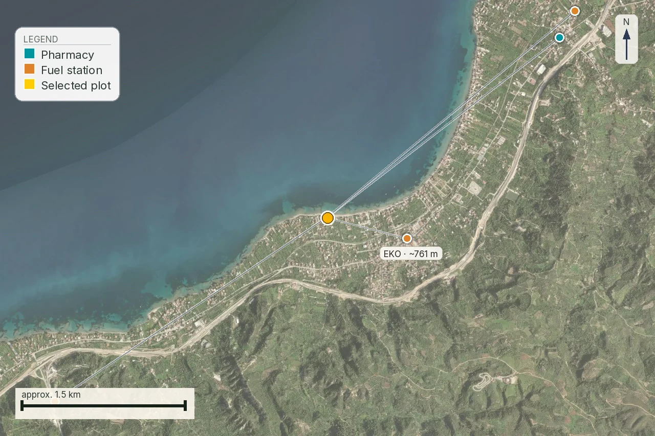 Practical
Buying Greek property without reading Greek: the interpreter, the πληρεξούσιο and the papers you sign
What άρθρο 10 ν. 2830/2000 actually requires when a buyer does not speak Greek, how a πληρεξούσιο is granted from abroad with an Apostille, who may produce a translation a Greek office accepts, and what each document in a purchase commits you to.
38 min readRead guide →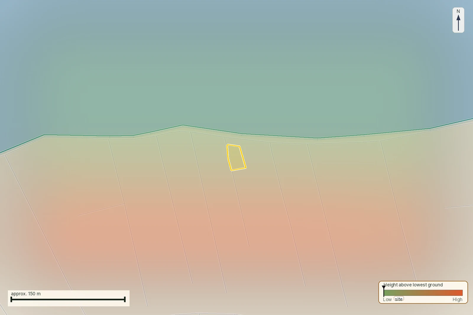 Title and papers
How to read a τοπογραφικό διάγραμμα: the survey sheet, callout by callout
Twelve things on a Greek survey sheet, eight of them required by law, and what each commits its signer to: εξαρτημένο and the ΕΓΣΑ '87 table, the declarations under άρθρα 283 and 368 ν. 5306/2026, the frontage line, the building-terms box, and what April 2026 changed.
36 min readRead guide →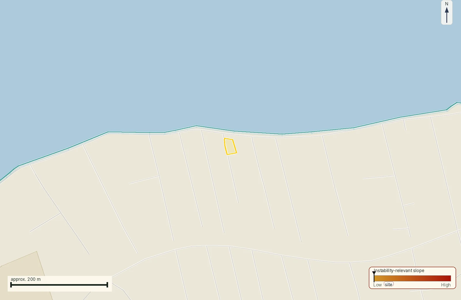 Cadastre and title
When a Greek deed and the cadastre disagree: who fixes the parcel?
The parcel on Naxos, KAEK 29002ΕΚ10017, is not an ordinary plot number. It records a 15,559 m² special extent at 0.3 m elevation, in the cadastral exhibition stage. Before comparing an old deed with its line, identify what the registry is actually recording.
20 min readRead guide → Title and boundary
Greek title deeds and boundaries: when words meet a coordinate polygon
The Terpsithea parcel, KAEK 311500507001, is 56,923 m² with a 975 m perimeter. A deed may identify land through neighbours and landmarks, while the cadastre stores a coordinate polygon. The area sentence, an unwalked perimeter and one map probe cannot settle the boundary by themselves.
17 min readRead guide →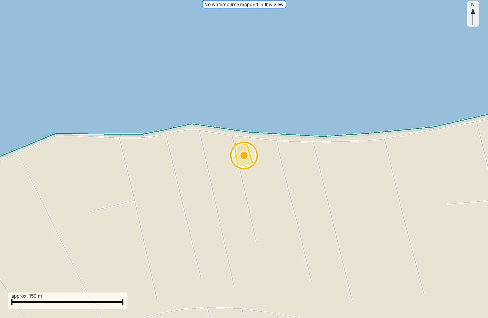 Building records
How to Verify a Greek Building Permit Before Buying a House
A Greek building permit issues automatically on submission; the authority samples at least 30% afterwards. Compare its parcel, drawings, stage and physical building before a deposit.
19 min readRead guide → Deeds and boundaries
Greece Dropped the Survey Plan From Deeds: What a Buyer Must Now Check
The April 2026 exemption is narrower than the headlines, and it moves the boundary check onto the buyer.
14 min readRead guide → Building file
Electronic Building Identity: the Document That Gates a Greek Sale
No completeness certificate, no deed. The file behind it is where unauthorised square metres surface, and it belongs to the seller.
13 min readRead guide →Ground, hazard and utilities
What the land itself costs you: slope, flood, fire, water, power and waste.
 Hazards
Flood and wildfire risk on a Greek plot: the ΥΠΕΝ maps, the ρέμα line and αναδασωτέα
What the two official Greek flood layers each answer, what Τ50, Τ100 and Τ1000 mean for one parcel, why an undelimited ρέμα costs more than a delimited one, and what a reforestation declaration forecloses after a fire.
24 min readRead guide → Natural hazards
Greek flood zones: what a ΖΔΥΚΠ result means for a property buyer
The parcel in Νέα Προποντίδα is inside a ΖΔΥΚΠ and close to a modelled flood corridor. The two findings answer different questions, and neither is a parcel-scale permit decision.
16 min readRead guide → Restrictions
Burnt land in Greece: αναδασωτέα, forest maps and the buyer’s next step
The Trikeri parcel is ΔΔ inside a ratified forest polygon. Fire does not erase that character: find the ΑΝ field, the declaration, any lifting act and the clearing duty before you value the land.
16 min readRead guide →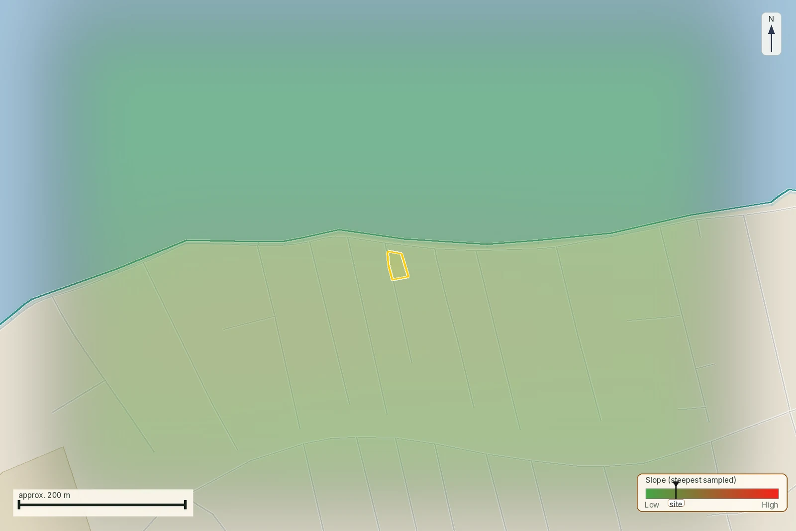 Ground and construction
Building on a slope in Greece: read the terrain before the view
A Lefkada parcel with a 28.6% mean slope and a track 10 m away, compared with a Trikeri parcel at 19.6% and a flat Naxos control at 2.7%, to identify what the engineer must resolve before a deposit, with the view treated as a design preference.
15 min readRead guide →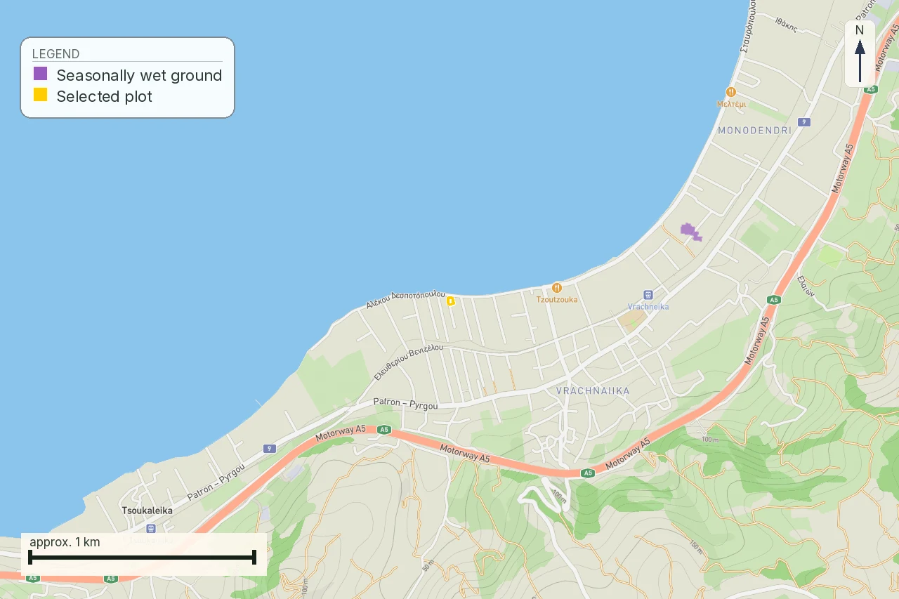 Utilities
Septic tank or sewer in Greece: the wastewater question before buying
A Lefkada parcel that is out of plan, on a 28.6% slope, where the wastewater route affects the house design, its permit file and its operating cost.
18 min readRead guide →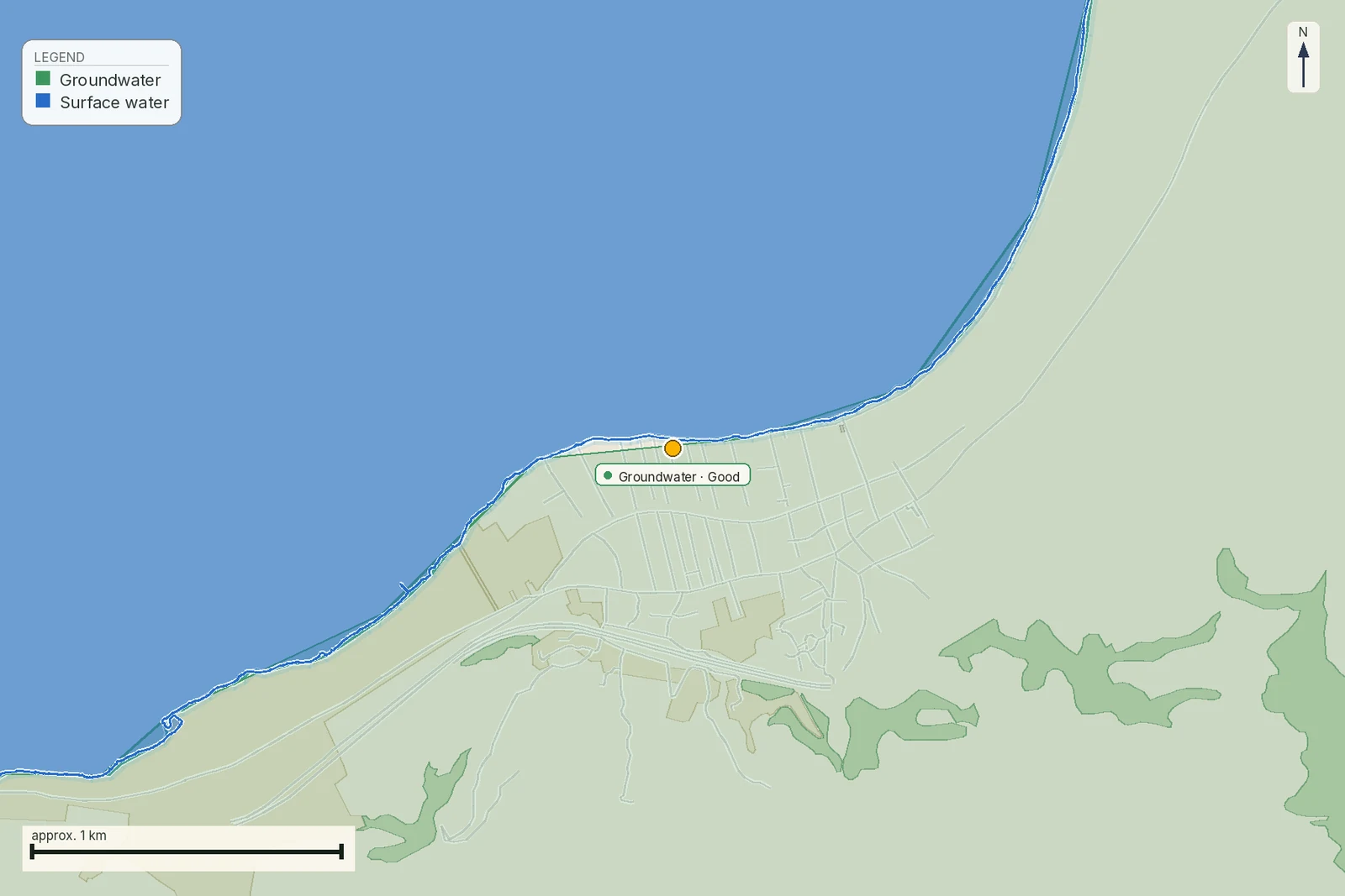 Water and utilities
Wells and Boreholes in Greece: Water Rights a Property Buyer Must Verify
A well on Greek land is not automatically a legal or transferable water supply. Ν. 3199/2003 fixes which uses need a permit; ΚΥΑ 145026/2014 fixes when a notary needs the ΕΜΣΥ certificate.
16 min readRead guide →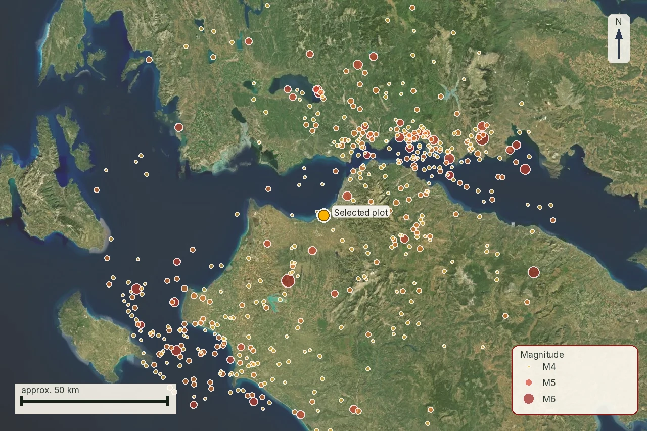 Natural hazards
Earthquake risk and Greek property: read the map before the building
A Greek seismic map can justify a professional question. It cannot rate a house, confirm a foundation or make a purchase safe.
19 min readRead guide →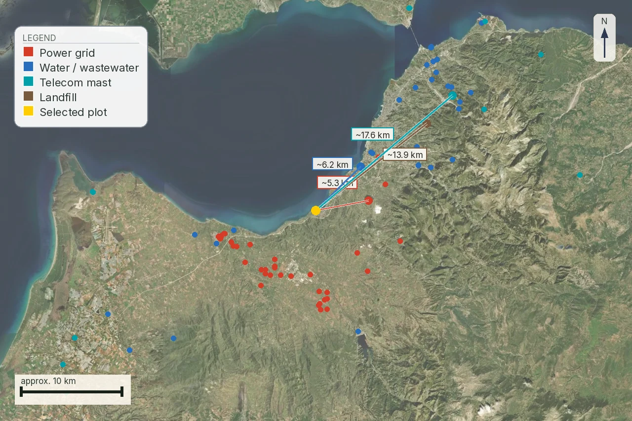 Ground and utilities
Utilities for a remote Greek property: electricity, water and internet
A pole, pipe or coverage cell is a clue. It is not a connection offer, a legal route or a delivery date.
19 min readRead guide →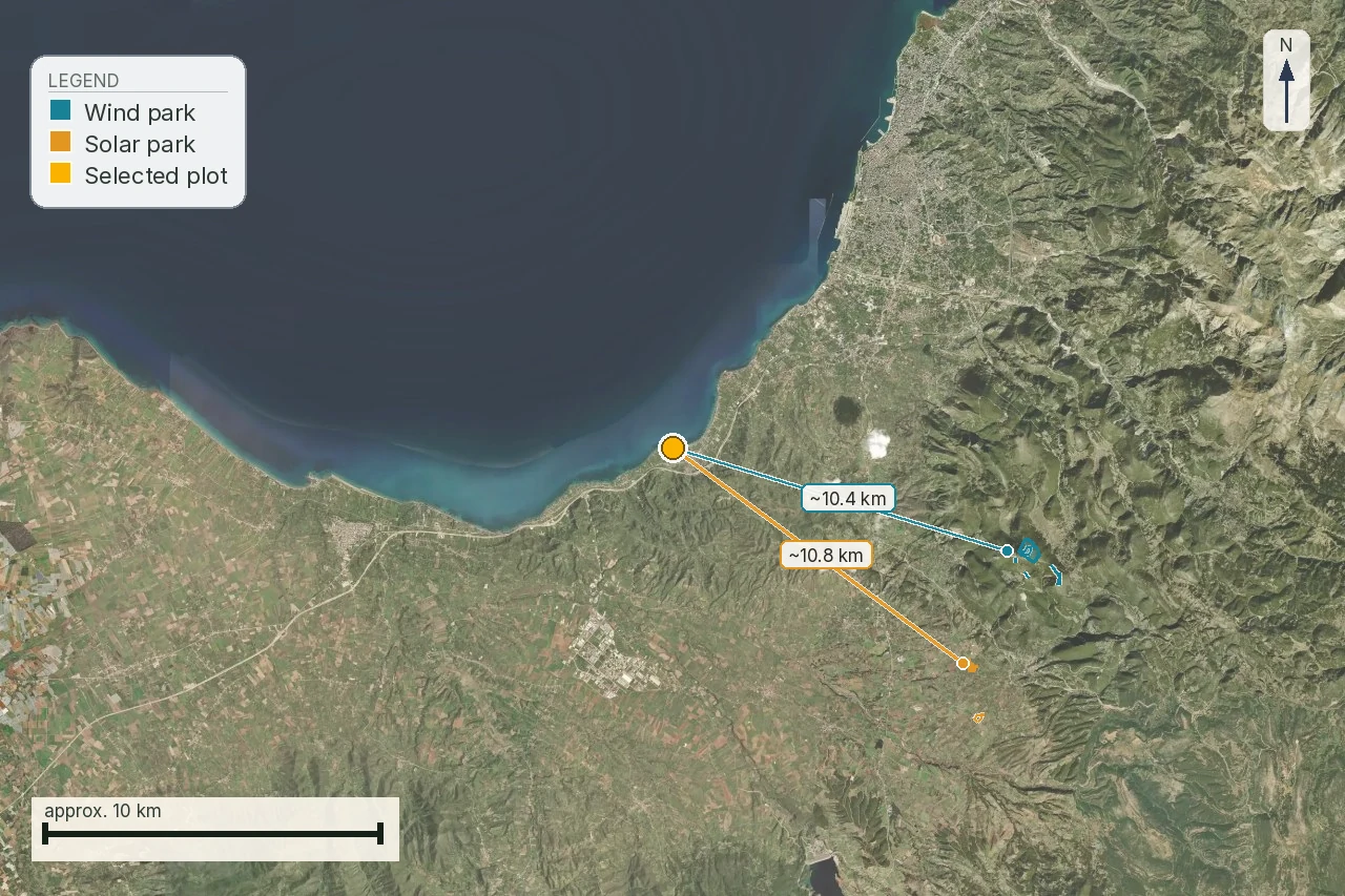 Planning and surroundings
Renewable energy projects near Greek property: the 2008 decision, the 2026 draft and a real parcel
The framework that actually governs a wind or solar project next to Greek land is a 2008 joint ministerial decision; the widely covered 2026 plan is still a draft, short of the gazette. What that decision requires, what its 2026 successor would change if it is ever gazetted, and how both apply to a real island parcel with its own KAEK and forest-map code.
27 min readRead guide →Cost and value
The all-in number, the state's number, and what land actually trades for.
 House and land
Buying a House in Greece for Airbnb: 7 Checks Before a Deposit
A live listing and an AMA do not prove that the guesthouse, pool, driveway or bedrooms are lawful. Check the building file, 2025 accommodation standards and the land that keeps a Greek holiday villa operating before the deposit is at risk.
16 min readRead guide → Money
MoneyWhat buying property in Greece costs: every line, with the provision behind it
Transfer tax at 3,09% and where the 0,09 comes from, the ΦΠΑ suspension with five months left on it, the notary tariff that stepped down in 2015, the Κτηματολόγιο fee that changed in January 2026, and two purchases priced line by line.
36 min readRead guide →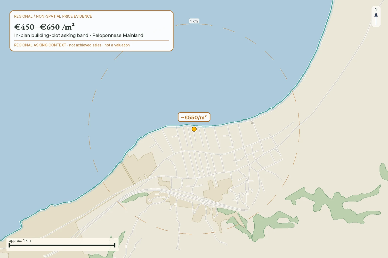 Cost and value
Greek objective value versus asking price: keep the numbers separate
APAA, asking price and transfer observations serve different purposes. A buyer should not turn one into another.
20 min readRead guide →Public-data catalogue behind the report
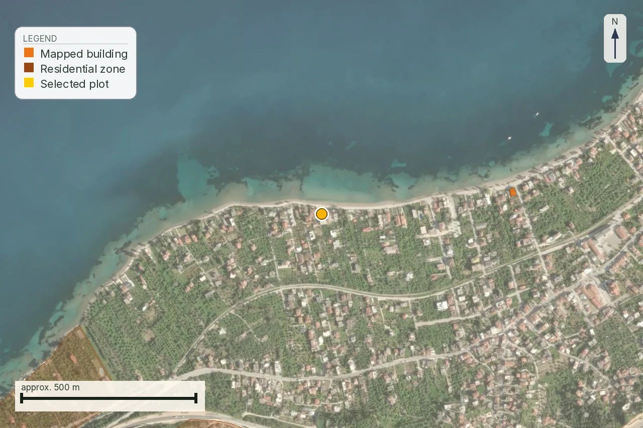
These are the public sources behind the report. The labels show what the report can do today: Connected is a live read, Available is a published download, Map only supplies visual context, and To be confirmed marks a source whose connection or coverage still needs checking. For every selected parcel, the report records which sources it read and the date of that read.
Hellenic Cadastre public WMS basemap
The source comes from Hellenic Cadastre.
Status: Map only
Usage terms: not published by this source; check current terms before reuse Open publisher source
data.gov.gr cadastre-parcels downloads
The source comes from Greek open data / Hellenic Cadastre data.
Status: Available
Usage terms: not published by this source; check current terms before reuse Open publisher source
Hellenic Cadastre INSPIRE parcels
The source comes from Hellenic Cadastre.
Status: To be confirmed
Usage terms: not published by this source; check current terms before reuse Open publisher source
e-Poleodomia planning portal
The source comes from Greek Ministry planning GIS / YPEN lead.
Status: To be confirmed
Usage terms: not published by this source; check current terms before reuse Open publisher source
e-Poleodomia zoning/building terms
The source comes from Greek planning GIS / YPEN lead.
Status: To be confirmed
Usage terms: not published by this source; check current terms before reuse Open publisher source
OpenStreetMap buildings
The source comes from OpenStreetMap contributors.
Status: Connected
Usage terms: Open Database License (ODbL) Open publisher source
Local OSM extract/cache fallback
The source comes from OpenStreetMap contributors / Geofabrik extract.
Status: Available
Usage terms: Open Database License (ODbL) Open publisher source
Hellenic Cadastre forest maps
The source comes from Hellenic Cadastre / YPEN.
Status: To be confirmed
Usage terms: not published by this source; check current terms before reuse Open publisher source
GreekOpenData/geodata Natura and protected areas
The source comes from Greek public geodata index.
Status: To be confirmed
Usage terms: EEA reuse policy / source-specific terms Open publisher source
European Environment Agency Natura 2000 fallback
The source comes from European Environment Agency.
Status: Available
Usage terms: EEA reuse policy / source-specific terms Open publisher source
EEA protected-sites web services
The source comes from European Environment Agency.
Status: Connected
Usage terms: EEA reuse policy / source-specific terms Open publisher source
Greek natural monument layers
The source comes from Greek Ministry of Environment / local authorities.
Status: To be confirmed
Usage terms: EEA reuse policy / source-specific terms Open publisher source
Greek Archaeological Cadastre / Ministry of Culture
The source comes from Greek Ministry of Culture.
Status: To be confirmed
Usage terms: Ministry of Culture portal; no published open-reuse licence Open publisher source
Greek Archaeological Cadastre zones
The source comes from Greek Ministry of Culture.
Status: To be confirmed
Usage terms: Ministry of Culture portal; no published open-reuse licence Open publisher source
OpenStreetMap infrastructure and POI
The source comes from OpenStreetMap contributors.
Status: Connected
Usage terms: Open Database License (ODbL) Open publisher source
OpenStreetMap roads
The source comes from OpenStreetMap contributors.
Status: Connected
Usage terms: Open Database License (ODbL) Open publisher source
OSM proposed/construction transport fallback
The source comes from OpenStreetMap contributors.
Status: Connected
Usage terms: Open Database License (ODbL) Open publisher source
OpenStreetMap power infrastructure
The source comes from OpenStreetMap contributors.
Status: Connected
Usage terms: Open Database License (ODbL) Open publisher source
Copernicus DEM / EU-DEM
The source comes from Copernicus.
Status: Available
Usage terms: Copernicus free and open data terms Open publisher source
Mapbox Terrain-DEM v1 elevation tiles
The source comes from Mapbox.
Status: Connected
Usage terms: Mapbox commercial product terms Open publisher source
Copernicus CORINE / land cover
The source comes from Copernicus Land Monitoring Service.
Status: Available
Usage terms: Copernicus free and open data terms Open publisher source
PVGIS solar radiation API
The source comes from European Commission JRC.
Status: Connected
Usage terms: European Commission JRC / PVGIS terms Open publisher source
Copernicus Climate / ERA5
The source comes from Copernicus Climate Data Store.
Status: Available
Usage terms: Copernicus free and open data terms Open publisher source
Greek/ESDAC soil datasets
The source comes from Greek agricultural/geological sources and ESDAC fallback.
Status: To be confirmed
Usage terms: not published by this source; check current terms before reuse Open publisher source
Greek flood risk management geoportal
The source comes from Greek Ministry of Environment and Energy.
Status: To be confirmed
Usage terms: not published by this source; check current terms before reuse Open publisher source
Greek INSPIRE flood-risk metadata/services
The source comes from Greek Ministry of Environment and Energy / INSPIRE.
Status: To be confirmed
Usage terms: not published by this source; check current terms before reuse Open publisher source
DEM-derived drainage screening
The source comes from Copernicus DEM / derived model.
Status: Available
Usage terms: Copernicus free and open data terms Open publisher source
European Ground Motion Service
The source comes from Copernicus Land Monitoring Service.
Status: Available
Usage terms: Copernicus free and open data terms Open publisher source
Greek/European landslide susceptibility sources
The source comes from Greek geological sources / ESDAC fallback.
Status: To be confirmed
Usage terms: not published by this source; check current terms before reuse Open publisher source
EEA/Copernicus air quality and noise leads
The source comes from European Environment Agency / Copernicus.
Status: To be confirmed
Usage terms: Copernicus free and open data terms Open publisher source
HSGME/IGME geological and hydrogeological sources
The source comes from Hellenic Survey of Geology and Mineral Exploration.
Status: To be confirmed
Usage terms: not published by this source; check current terms before reuse Open publisher source
OpenStreetMap POI
The source comes from OpenStreetMap contributors.
Status: Connected
Usage terms: Open Database License (ODbL) Open publisher source
OSM routing engine: OSRM/Valhalla/OpenRouteService
The source comes from OSM-derived routing engine.
Status: Connected
Usage terms: Uses OpenStreetMap data under ODbL Open publisher source
GHSL / WorldPop / Eurostat grid population
The source comes from European Commission JRC / WorldPop / Eurostat.
Status: Available
Usage terms: not published by this source; check current terms before reuse Open publisher source
Reading beats guessing.
Every check in these guides, run on your own parcel and delivered as a report. EUR 29 total · VAT included.