
Διαβάστε το άρθρο στα ελληνικά.
Planned roads and expropriation in Greece: what a property buyer must verify
On this page
A line on a planning map can affect a future building footprint, access, resale and negotiation, but it is not automatically a completed expropriation. Greek public records distinguish planning instruments, road projects, declarations, compensation steps and completion. This guide gives a buyer a disciplined route to the controlling document without claiming that a mapped road will certainly be built or that compensation is already owed.
This guide is a preliminary screen for a purchase or permit question, not legal, surveying, engineering or tax advice; read the full scope and limits before relying on it.
Have a specific plot in mind? Every check in this guide can be run on it, with source and date, for EUR 29 total · VAT included. Pin it on the map →
Read this beside the buildability and topographic-survey guides: the legal road-access guide and the title and boundary guide.
Start with the type of line
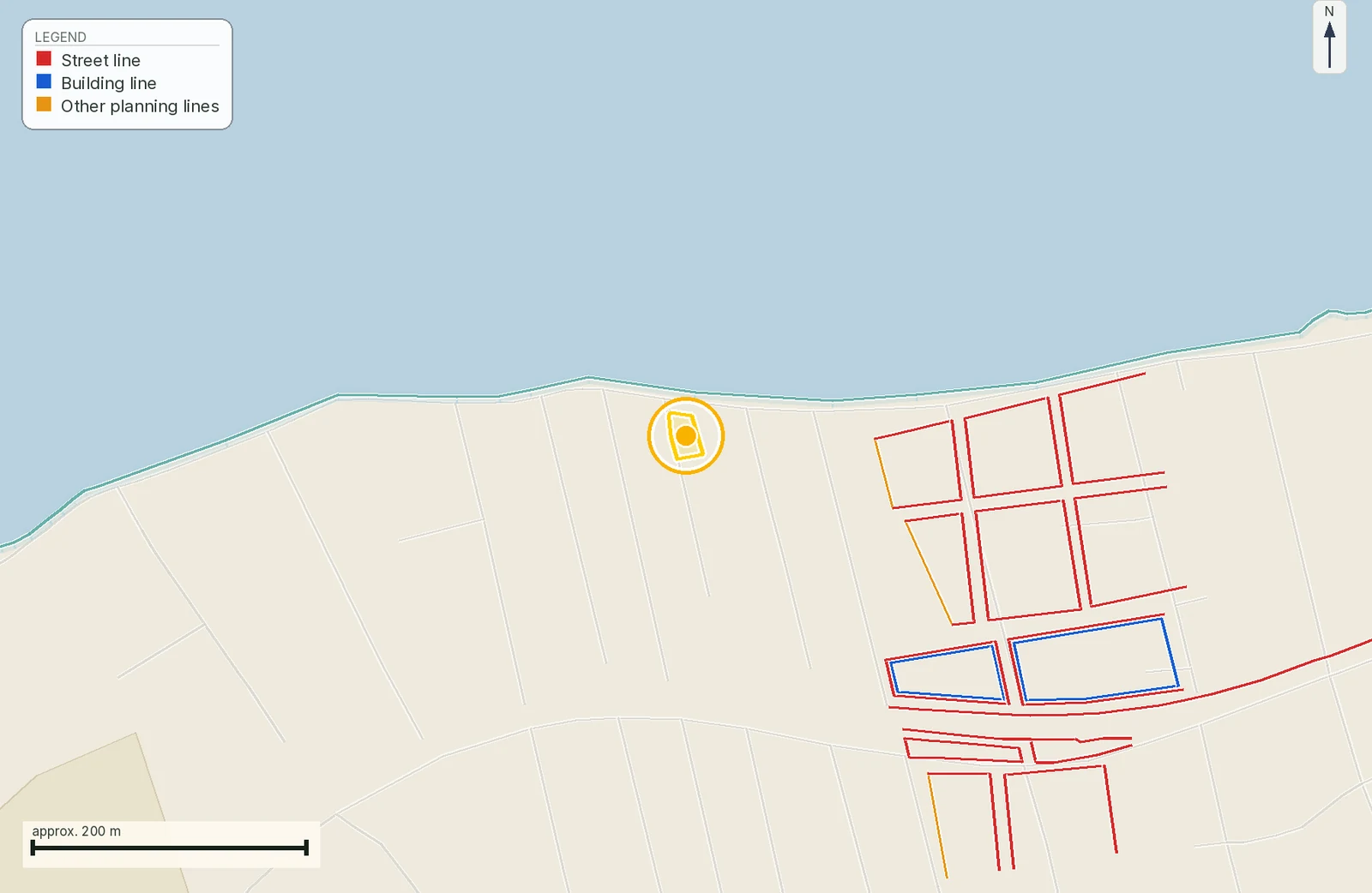
“Planned road” may mean a local plan line, a building line, a road-widening reservation, a strategic project corridor or a proposal that has not become operative. The buyer must identify the instrument before using the line in negotiation.
The document that identifies the line.
A planning map, project announcement and expropriation decision are not the same document. Record title, authority, Gazette series, plan sheet, date and whether the document says proposed, approved, declared or completed.
Ask the planning engineer to classify the line and the lawyer to find the operative record. If the seller cannot identify either, keep the road question at investigate or pause.
Distinguish planning reservation from expropriation
A plan can reserve space for a future public use while the ownership and compensation process remains unresolved. An expropriation is a separate administrative and compensation route with evidence of declaration, valuation, payment or deposit and completion.
MITOS lists distinct procedures for valuation and completion, while the public expropriation office describes declarations and compensation records. Do not call a plan hatch “taken land” without the operative act and stage.
Ask counsel to state whether the issue is planning effect, expropriation declaration, compensation or completion. Each answer changes what the buyer should request and from whom.
Match the road line to the survey
A thick line on a small-scale plan can cover several metres on the ground. The buyer needs the plan sheet, coordinate system, scale, affected vertices and the proposed building footprint on the same survey.
Ask the surveyor to calculate affected area under the correct instrument, not from pixels. Ask whether the line changes frontage, setbacks, access or the feasible building envelope.
Why it matters. Do not measure a screenshot or assume that a portal line is survey-accurate. A current topographic diagram should show boundaries, road interface and the intended project, with the source map retained for comparison.
Find the authority and project owner
A municipal street, regional road, national road and motorway can have different owners, records and procedural paths. The word “public” does not tell the buyer which office controls the file.
Ask the seller for notices received and ask the authority for the complete plan and stage. A generic municipality answer should not be expanded into a national-road conclusion.
Why it matters. Ministry notices can identify a project and authority, while planning material can show the local instrument. Record the competent body, protocol or decision number, project section and the contact route for the current file.
Understand declaration, valuation and completion
Expropriation has a sequence. A declaration can identify land for public benefit, valuation and compensation can follow, and completion has its own legal effect and record. The buyer must not skip from first notice to “the State owns it”.
The document that proves the compensation stage.
Official MITOS procedure pages distinguish valuation, determination and completion or lifting. The public office’s role includes declarations and compensation records. Each stage should be named and dated in the buyer file.
Ask the lawyer whether completion occurred, whether compensation was paid or deposited and whether registration followed. Ask what remaining step affects the seller’s ability to transfer.
Check whether the measure is active, lifted or amended
A road reservation or expropriation can be changed, lifted or supplemented. An old plan sheet is not a current answer, and an announcement can refer to only one section of a larger project.
Compare the original act with later decisions, Gazette entries, notices and registration. MITOS includes a procedure for a certificate of automatic lifting; that possibility does not allow the buyer to assume lifting without the certificate.
Ask counsel for a chronology with the current status highlighted. If the file is silent, write “status not confirmed” and request the authority’s written answer.
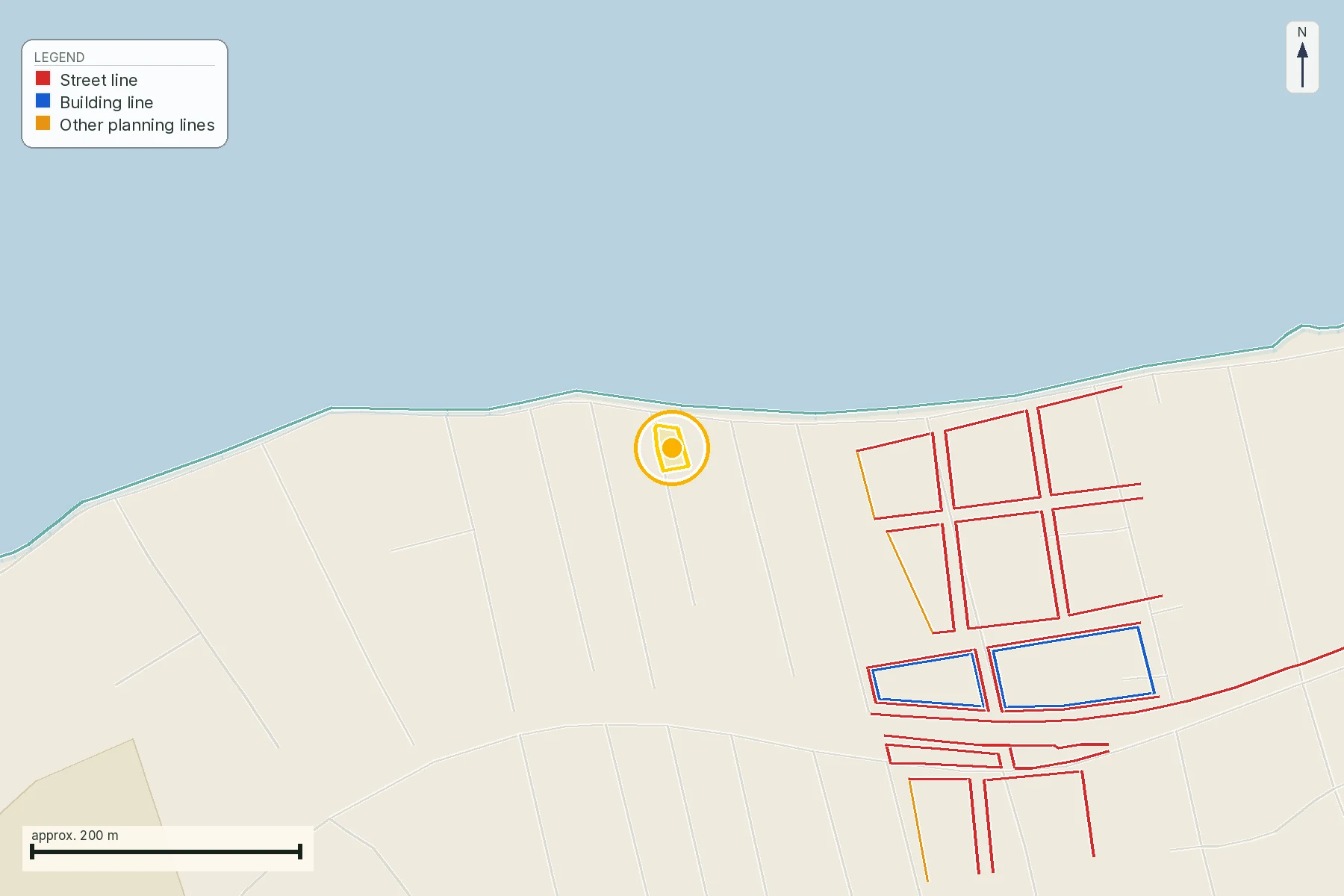
Separate road access from road taking
A planned road may affect the parcel, while another issue determines whether the remaining land has lawful access. A buyer needs both questions: what land is affected and how the property will enter the public road after any change.
Ask the surveyor to show the post-measurement access path and ask counsel whether it is legally supported. Keep access and compensation in separate offer conditions.
Why it matters. Use the survey for the road junction and residual parcel, the title file for easements and the planning/expropriation file for public effects. A road shown on a map does not cure a private access gap.
Calculate the residual parcel before valuing it
A narrow strip can affect more than area. It can move the building envelope, remove a turning point, split a field, alter drainage or leave a remnant with different access and use.
Ask the architect or agronomist to test the residual footprint, machinery route and utilities. Ask the lawyer how any acquired strip is reflected in the title and registry.
Why it matters. The surveyor should calculate the affected and remaining geometry under the operative line and intended use. Do not subtract a rough percentage from the asking price without knowing whether the useful part survives.
Look for notices, objections and compensation evidence
Public notices and court or compensation steps can matter even when the map is visually quiet. The seller may hold papers that never appear in a public viewer, and a buyer must ask for them directly.
The document that records the current stage.
Collect notices, decisions, valuation material, payment or deposit proof and any registration. Do not infer entitlement or absence of entitlement from the plan line alone.
Have counsel reconcile the public file with the seller’s title and any pending claim. If the compensation file is absent, record who must obtain it and before which transaction milestone.
Read the road decision against other restrictions
A road corridor can intersect streams, forest land, coastal zones, archaeological areas, Natura sites or utility routes. Solving one line does not clear the rest of the planning stack.
Overlay the current road instrument with environmental, cadastral and planning layers and keep each source’s date. A project approval may carry conditions or a separate environmental file that a road plan does not show.
Ask the engineer to list every intersecting layer and the professional who must clear it. Keep the road answer conditional until the combined geometry is read.
Put the controlling document in the contract workflow
A buyer should not be asked to rely on an informal promise that a road will not proceed, or that compensation will be paid later. The offer should identify the document and consequence of an adverse answer.
Keep this guide’s public-source finding separate from legal drafting. Ask the lawyer to translate the actual file into a condition that the seller can satisfy or the buyer can exit.
Why it matters. The lawyer should define whether the condition concerns title, building footprint, access, compensation, completion or a notice. Avoid combining all risks in a vague “no expropriation” warranty.
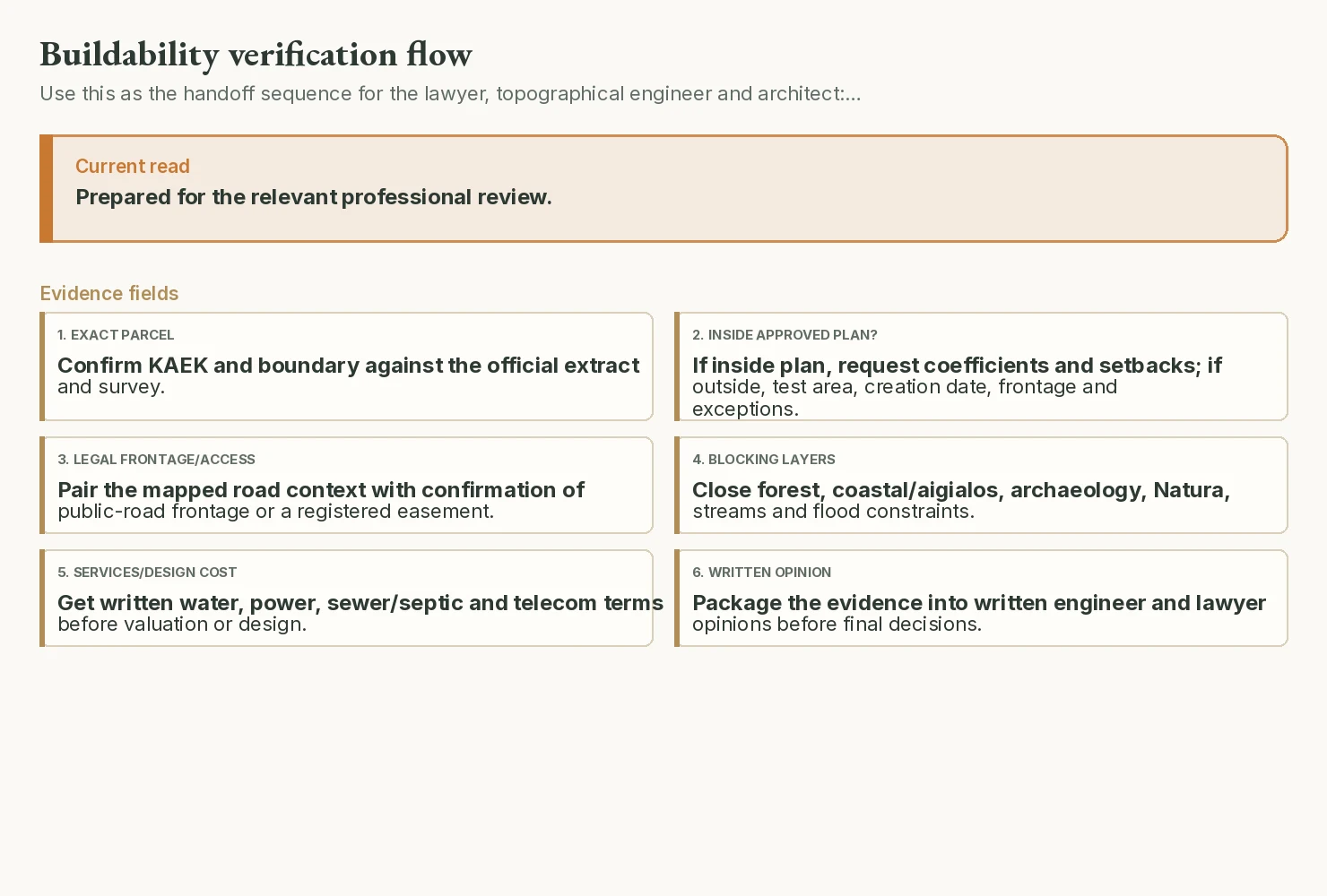
Apply proceed, investigate and pause
The gates keep a buyer’s decision proportional. Proceed means the line and the parcel are reconciled for the next professional review; investigate means a named act is missing; pause means the uncertainty can change ownership, access, use or value.
Write the gate in the buyer memo and re-open it when a new notice or record arrives. Do not let a seller deadline turn an unresolved public measure into a clean result.
Why it matters. A map alone never closes a gate. Closure needs the operative document, current geometry and the professional explanation of the remaining parcel and transaction effect.
A worked parcel before the legal sequence
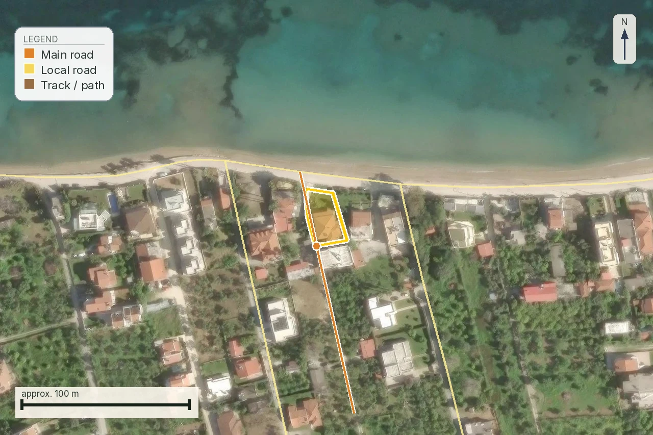
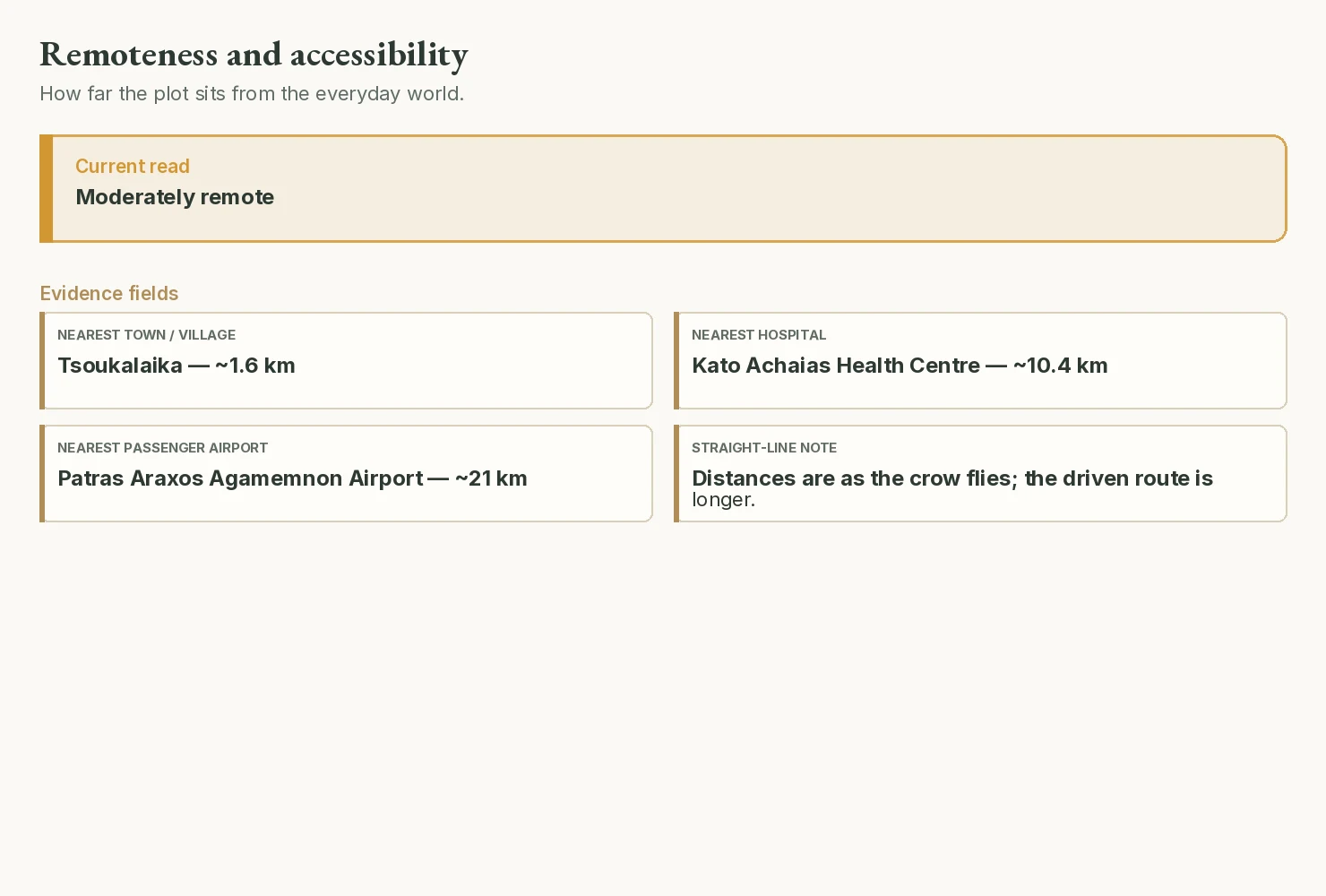
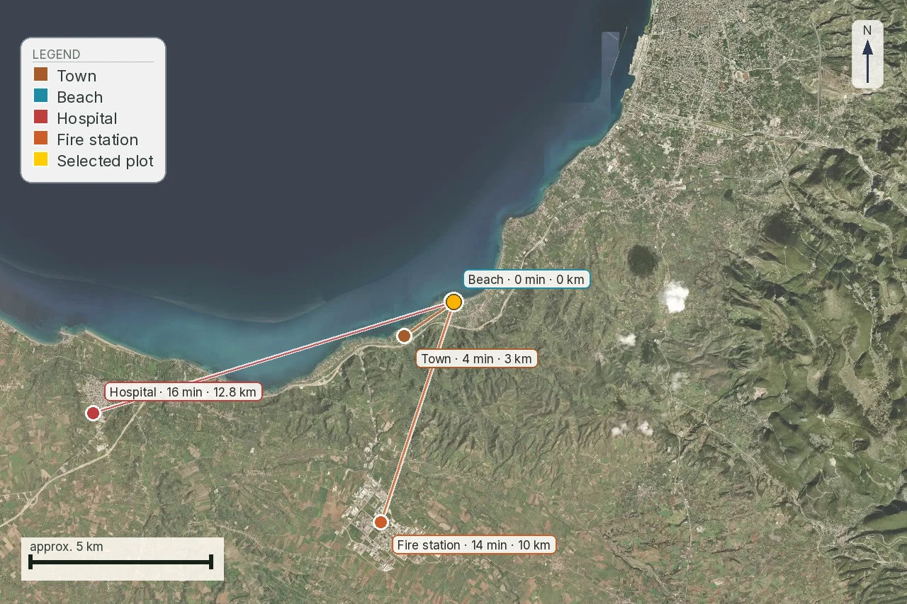
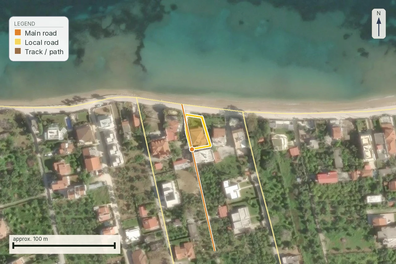
Use the parcel at Poros, Lefkada, as the worked purchase example. The snapshot records 41,307 m², mean slope 28.6% and a nearest route 10 m away recorded as a track; that proximity does not prove legal frontage. The road question is which line affects this parcel, which document makes it operative and what remains afterward.
The line needs an identity
Do not save only a screenshot. Record the project name, holder, municipality or regional unit, map sheet, act or study number and date. If two roads have similar descriptions, chainage, junction or project section is what identifies the correct line.
Then match the line to the current survey. A general planning line may have moved, been amended or cover a corridor wider than the final taking. If the source does not provide a georeferenced diagram, record that limitation and do not present an estimate as the expropriation boundary.
Declaration, compensation, completion, lifting
A declaration is the act that announces compulsory taking for a defined purpose and geometry. Valuation concerns the amount and its court or administrative path. Consignment concerns payment through the prescribed process. Completion and registration are separate questions about whether the measure produced the title effect relevant to the buyer. The constitutional basis for compulsory expropriation is Constitution article 17, including prior full compensation.
Automatic lifting must not be inferred from silence or an old map. Under the Code of Compulsory Expropriations, Law 2882/2001, article 11(3), an expropriation is automatically lifted if it is not completed within eighteen (18) months of publication of the decision provisionally determining compensation, or of the decision determining it directly and finally. The authority that declared the expropriation must issue the certifying act within four (4) months after that deadline. Request the act; do not treat lifting as proven without it.
The residual parcel and its value
Even where the taking is only a strip, value can change through the residual parcel: shape, new frontage, access, building position, drainage and usable area. The engineer should draw before and after on the current survey. An appraiser or lawyer may need to assess how the act affects rights and compensation.
Do not turn the area taken into an automatic euro figure. Compensation, final price and buildability answer different questions on different dates. In an offer, it is safer to name the outstanding act and keep payment conditional than to invent numerical certainty.
Where to search and what to save
Start with the Ministry of Finance expropriation archive and MITOS procedure pages. In the Gazette, save the act number, issue and date. In Diavgeia, save the ADA, title, authority and complete document. In e-Poleodomia, save the plan or act explaining the line. The search result alone is not enough.
A buyer's file should be readable by a third party: link, access date, version, map, geometry and question. If an amendment is published, this lets you see what changed instead of comparing two ambiguous screenshots.
The word "road-line" or "street-plan measure" may refer to a planning line, an expropriation or a planning reservation, depending on the act and stage. Do not translate it automatically into "the road will be built". The buyer needs the map sheet, vertices or diagram and an answer on whether the line crosses the same parcel.
Physical access is a parallel but different question. A road may appear in an orthophoto without proof of legal frontage. A public corridor may exist while the plan reduces the residual parcel or requires a new entrance. The road section should therefore separate physical movement, mapped network, legal right and effect of the act.
Before signing, make the condition name the identified project and the authority confirmation, not a vague promise that the property is clear of roads. Add that survey, title and operative Gazette must agree. The condition does not predict the State's decision; it prevents payment before the act capable of changing the deal has been read.
Recheck date and version change
Set a recheck date when the project is under study, compensation is open or the line comes from an old plan. Keep the old and new document together with a note of the change. A newer act may change the road section, geometry or responsible authority without changing the description used by the agent.
For a buyer, the most useful number is not always the area shown on one map. It is what remains, how it is reached, whether the residue has lawful frontage and which document protects its value. Those questions turn road anxiety into testable technical and legal work.
The verbal phrase "the road is frozen" is not enough. You need to know whether it means the study did not advance, the declaration was not completed, a lifting act exists or a newer publication was simply not found. Those situations have different holders, documents and consequences. The report should keep them as separate lines so the lawyer can check the correct procedure.
If the property already has a building, ask for the line to be drawn against the building, entrance, services and residual land. If it is vacant, test the intended footprint and construction access as well. The same road can affect each scenario differently, so a generic distance from the boundary is not enough.
When writing to the seller, request a defined packet: act and Gazette, cadastral diagram, any owner schedule, compensation or lifting evidence and a current survey. If an item is unavailable, put that gap in the condition and question list. Do not let deadline pressure replace the document.
If an authority says no act was found, keep its exact wording and response date. That is not the same as a certificate that no reservation ever existed. Counsel may need to search older Gazettes, registrations or corrections to the cadastral diagram.
Close the road check only when act and geometry answer the same question. Until then, the correct gate is investigate or pause, not a reassuring conclusion.
A public-benefit project does not mean every related line has already affected title. Read the published act, its diagram and the registration for the particular property. This avoids both unjustified panic and false reassurance.
For each line also record direction and project section. The road name alone is not enough, because the same description can appear in different municipal or regional acts. The survey match should show which side of the parcel is affected, what remains and whether a new access is needed.
When the file does not answer finally, the guide should show that through a clear missing-data list. This helps counsel search the right Gazette, the engineer draw the right residue and the buyer decide whether to pay for the investigation before the deposit.
The value of preflight is the order of questions: identity first, operative act next, geometry after that, and compensation or effect last. Reverse the order and a map becomes false certainty. Follow it and the buyer knows exactly which document is missing and who will seek it.
The act timeline and parcel match
A notice, a plan, a declaration and a compensation hearing are not four ways of saying the same thing. Record the project title, act number, Gazette, issuing authority, date, cadastral diagram and compensation stage. Then ask the surveyor to apply that chain to the same parcel.
Expropriation evidence matrix
Gates before an offer
Source/date and act register
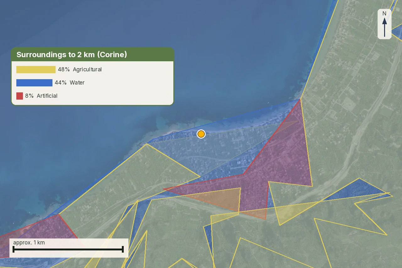
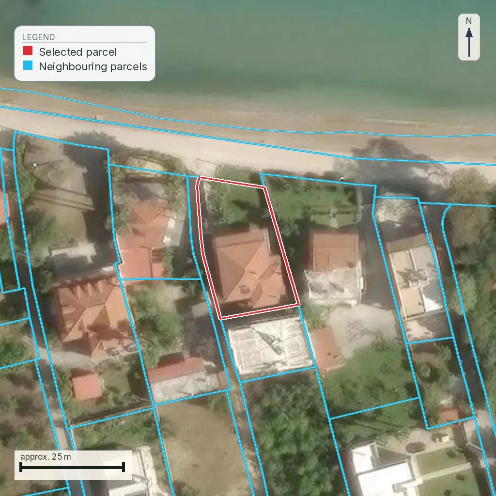
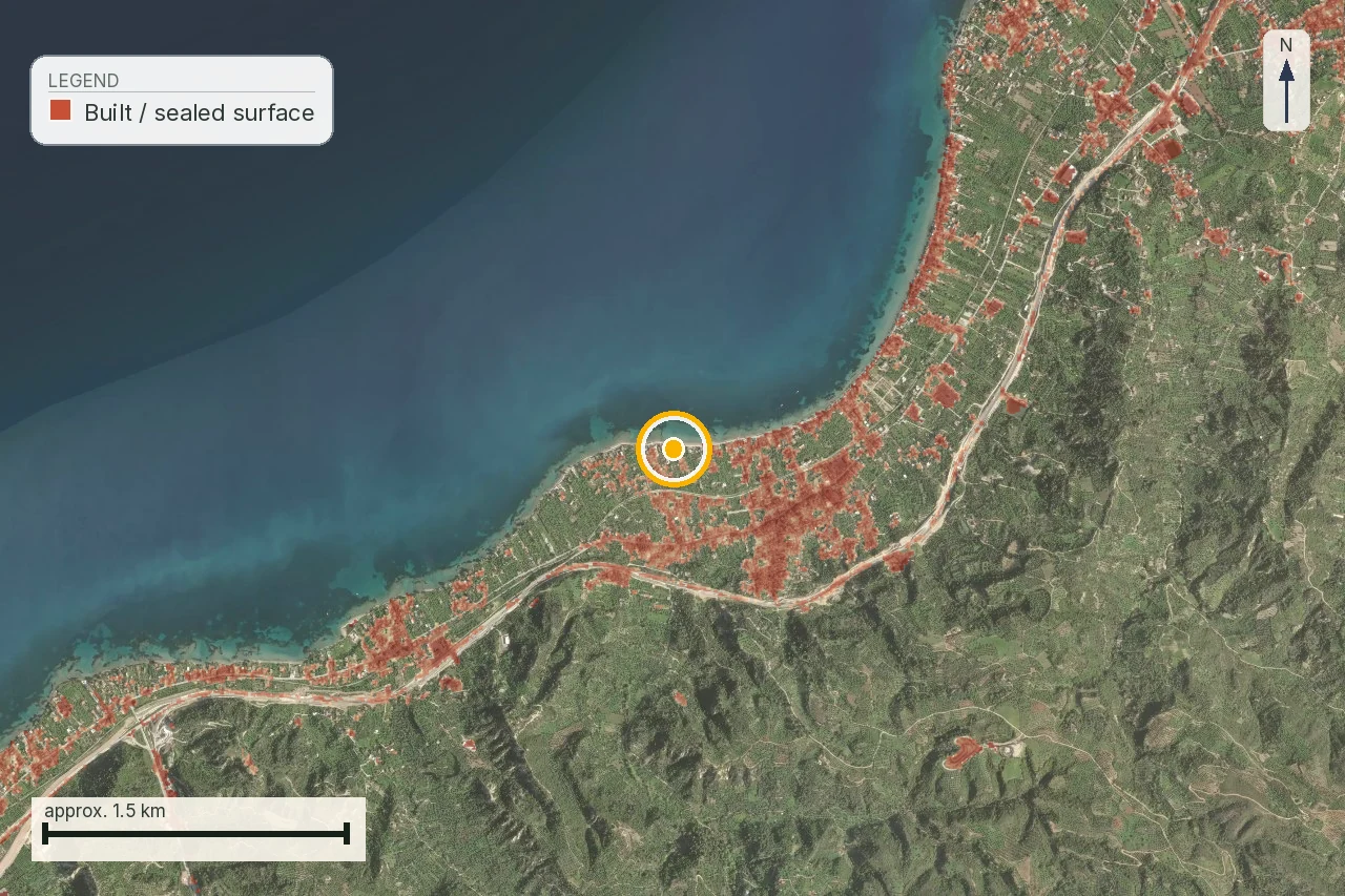
Source/date: checked on 4 August 2026. The Ministry of Finance publishes notices and archives, MITOS describes separate procedures, and the Gazette/Diavgeia record must be tied to the act governing the geometry. The images are anonymised crops from a real snapshot and do not replace the official cadastral diagram.
Use the National Printing Office Gazette search for the operative publication, and search Diavgeia by ADA or exact act title. Do not rely on a listing map or an undated PDF without checking whether it remains operative.
Open the National Printing Office for the published Gazette and Diavgeia for the act's ADA. Treat them as the same administrative trail only when authority, title, geometry and date agree.
What the map does not confirm about an expropriation
A line does not prove declaration, completion, compensation or lifting. Only the act–Gazette–diagram–registration chain, matched by a professional to the parcel, can answer what applies to this purchase.
The document your condition should name
Do not write a vague offer condition saying there is no expropriation. Name the project, act, diagram, compensation stage and the answer the lawyer and surveyor must give before money is released.
The practical decision may be provisional: proceed only when the act and survey agree, investigate when a critical document is missing, or pause when the line crosses the building and nobody can explain the operative stage. That distinction protects price and time without pretending that a public record is individual legal advice.
In the transaction note, keep four columns: project identity, operative administrative act, exact geometry and effect on the residue. The fourth column cannot be filled from the colour of a line; it needs a survey answer and, where rights or compensation are involved, legal review. This lets the buyer tell the seller what is known, what is requested and which deadline belongs to the decision.
Common questions
Does a line on a road plan mean my land is expropriated?
No. It may be a planning reservation or proposal. Find the operative act and the current expropriation stage before drawing that conclusion.
What is the difference between declaration and completion?
A declaration identifies a public measure. Completion is a later legal stage with its own compensation/payment or deposit and registration evidence.
Can I measure a road line from a screenshot?
No. Use the plan sheet, scale, coordinates and current survey. A thick or generalized line can mislead about the affected strip.
Who should verify the road’s effect?
A surveyor maps the geometry, an engineer tests the residual building/use envelope and a lawyer reads the rights, act and transaction effect.
Does a road project prove compensation is due?
Not by itself. Compensation depends on the applicable expropriation record and stage. Do not calculate an entitlement from a map line alone.
What if the seller says the road plan was cancelled?
Request the lifting or amendment act and compare it with the current plan and registry. A verbal statement is not a current file.
What does investigate mean here?
It means the missing act, authority or geometry is named and must be obtained before the buyer treats the risk as resolved.
When should the road search be repeated?
Repeat it before the deposit and immediately before signing if the authority has published a new act or the survey/design changed.
Keep reading
Legal road access in Greece: what πρόσωπο σε κοινόχρηστη οδό means, and how a road becomes public
Planning terms and land use in Greece: reading όροι δόμησης and checking them yourself
Greek title deeds and boundaries: when words meet a coordinate polygon
What makes a Greek plot buildable: άρτιο, οικοδομήσιμο and the 4,000 m² rule
Check this on your own parcel
Pin the plot, confirm the KAEK, and every check in this guide is read against it and written up with its source and date. EUR 29 total · VAT included.