
Διαβάστε το άρθρο στα ελληνικά.
Greek cadastral diagram extract: request, download and print the PDF
On this page
Request a Greek cadastral diagram extract, confirm the KAEK and fee, download the PDF and print it while keeping the property identification visible.
This guide is a preliminary screen for a cost or timing question, not legal, surveying, engineering or tax advice; read the full scope and limits before relying on it.
Have a specific plot in mind? The map checks from this guide can be run on it, with source and date, for EUR 29 total · VAT included. Pin it on the map →
A public document from the municipality of Xylokastro-Evrostini provides a useful example: for a municipal property at Sarantapichiotika, identified by KAEK 280320804001, it sets out €15 for a cadastral diagram extract and €9.50 for a cadastral sheet copy, totalling €24.50 s1. The map extract and sheet are separate requests.
This is a public expenditure example, not a plot presented for sale or assessed for building. It helps explain which document you request when you need the cadastral diagram in PDF. Official sources checked on 2 November 2026.
What the diagram extract does
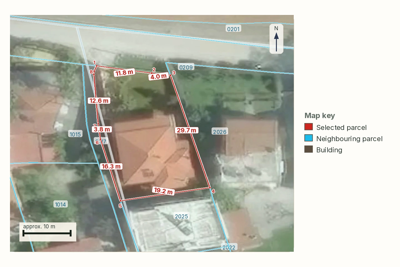
The Απόσπασμα Κτηματολογικού Διαγράμματος (AKD) shows the cadastral property within its wider area and its KAEK as represented in the cadastral diagrams, according to the official procedure register). The cadastral sheet describes rights and related entries instead s5).
Keep the Greek document name in requests to the seller and adviser. If the notary asks for the diagram, a page of rights information is a different output. If the lawyer requests the sheet, a map image will not provide that information.
The authority's personal-access service is another separate route for viewing your own property's information. Ask the recipient whether the formally issued diagram extract is required rather than assuming every PDF or screen capture has the same purpose.
Verify the full identifier before applying
The AKD procedure) requires the extended KAEK identifying the particular property. A parcel-level reference in a public notice, such as the municipal example above, is not an instruction to invent the remaining fields of an electronic request.
Obtain the full code from the appropriate document and have the commissioned professional confirm it. Establish whether the request concerns a parcel or a particular divided-property object.
The official record warns that an incorrect KAEK can produce a document for another property and that the described procedure does not allow deletion, cancellation or modification of the request's data s2). Changing a downloaded filename cannot repair the underlying identification.
Request and retrieve the original PDF
Use the official certificate-request service or the gov.gr diagram page. The published route uses Taxisnet, the appropriate register system for the area's coverage, a new certificate request and selection of the document type.
Choose Απόσπασμα κτηματολογικού διαγράμματος when this is the required product. Check the property identifier before submitting and keep the application number.
Then:
- Pay the amount stated in the fee notice within the service's specified period.
- Monitor the request folder after payment confirmation.
- Download and open the original PDF.
- Compare its identifier and description with the source document used for the request.
- Keep the file, application number and retrieval date together.
The authority expressly describes digital delivery and printing copies from the issued document s3. Payment completing successfully does not establish that you entered the intended property.
If you lack suitable digital access as an overseas buyer, agree with the seller or properly authorised professional how the required document will be supplied. Do not substitute someone else's login for that arrangement.
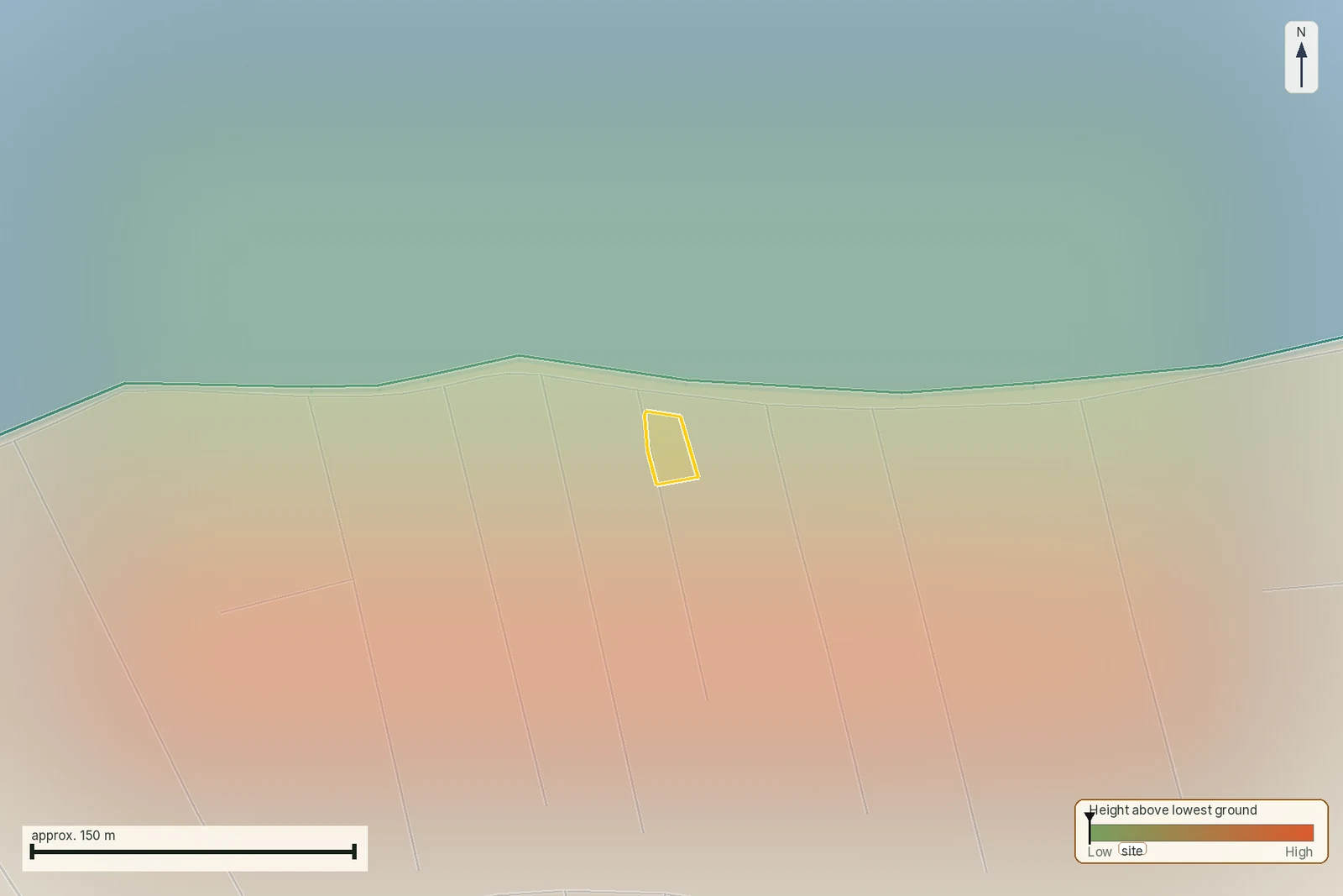
To compare the identified parcel with available territorial map layers, open the LandCheck map. A report costs €29 in one language or €39 in two; read the sample report first.
Read the fee and timing without adding a guarantee
The Mitos record), updated on 25 September 2026 and inspected on 2 November, lists a €15 fee and an estimated six-day digital time. Use the actual request's fee notice for payment.
The Cadastre instructions require payment within seven days and say bank confirmation may take up to two working days. They also distinguish cases in which processing occurs before the notice is issued. An estimated overall time should not be described as guaranteed delivery.
The municipal example's arithmetic is directly checkable: €15 + €9.50 = €24.50 s1. It does not mean every purchase requires both documents or that professional fees are included in that amount.
Print the complete document
Use the original PDF rather than a photograph of the screen. Keep the pages and visible identification, legend and scale information where provided. Send the adviser the file as well as any print, so the review does not depend on a resized paper copy.
If you choose “fit to page”, do not then measure it with a ruler as though the stated printed scale had necessarily been preserved. Producing a readable copy and carrying out a technical measurement are different tasks.
For a remote purchase, retain the original Greek version even if an English explanation is prepared. The identifier and document reference allow the local professional to compare the same evidence.
If the map differs from what the seller shows you
Provide the engineer with the diagram PDF, title document and seller's topographic material. Ask for a precise description of the discrepancy and the appropriate investigation route. Do not shift a boundary line in your own drawing to match a sales photograph.
The AKD is not presented here as a new on-site survey. Our topographic-diagram guide explains the broader technical document. Before committing funds, ask the adviser to clarify which property is being transferred and whether the difference affects it.
Keep a wrong document and its application reference when seeking help. Reprinting the same output is not a new search for the intended property.
Once you have the correct parcel, select it on the LandCheck map for an initial review of available territorial information. The sample report shows its scope. This is preliminary screening and does not replace legal advice or a survey.
Sources
- Δήμος Ξυλοκάστρου–Ευρωστίνης: δημόσιο απόσπασμα για κτηματολογικά τέλη (accessed 2 November 2026).
- Μίτος: Απόσπασμα Κτηματολογικού Διαγράμματος) (accessed 2 November 2026).
- Ελληνικό Κτηματολόγιο: αιτήσεις και παραλαβή PDF (accessed 2 November 2026).
- Gov.gr: απόσπασμα κτηματολογικού διαγράμματος (accessed 2 November 2026).
- Μίτος: Αντίγραφο Κτηματολογικού Φύλλου) (accessed 2 November 2026).
- Ελληνικό Κτηματολόγιο: προσωπική πρόσβαση (accessed 2 November 2026).
Common questions
Can I print the PDF issued by the service?
The authority describes digital receipt and printing copies for lawful use s3. Retain the original file and all relevant pages.
Does the €15 fee include the cadastral sheet copy?
Mitos describes the diagram s2) and sheet s5) separately. The public municipal example also lists separate amounts s1.
Can I fix a wrong KAEK by editing the downloaded PDF?
No. The official warning concerns the property requested and the issued document s2). Keep the request details and obtain guidance from the competent office.
Does this map show that the land is buildable?
The described output is cadastral mapping s2). Planning and building conditions require review of the applicable sources for the same location.
Keep reading
Check this on your own parcel
To compare the identified parcel with available territorial map layers, open the LandCheck map. A report costs €29 in one language or €39 in two; read the sample report first. EUR 29 total · VAT included.