
Διαβάστε το άρθρο στα ελληνικά.
Oikopedo, gipedo, geotemachio: what the Greek words for a plot mean, and why the English translation misleads
On this page
What oikopedo, gipedo, geotemachio, agrotemachio and klirotemachio mean in a Greek listing or deed, and how each word changes buildability and tax.
This guide is a preliminary screen for a cost or timing question, not legal, surveying, engineering or tax advice; read the full scope and limits before relying on it.
Have a specific plot in mind? The map checks from this guide can be run on it, with source and date, for EUR 29 total · VAT included. Pin it on the map →
An English-language listing for Greek land will usually say "plot". The Greek documents behind it will use one of five words, and they are not interchangeable. Translating οικόπεδο (oikópedo) and γήπεδο (gípedo) both as "plot" hides a planning distinction you need to check before discussing a house. This guide goes through each term, the law it comes from, what it changes in numbers, and where you check which one applies to the land you are looking at.
The public example is the actual 1988 Naxos zoning decree, read in the Government Gazette on 2 November 2026. The 1,242 m² used in the calculations below is a hypothetical area, not a newly checked parcel or a buildability finding. Our land use and zoning guide explains how the map and the written rules are read together.
The short version
| Greek word | Transliteration | Closest English | Which system uses it |
|---|---|---|---|
| γεωτεμάχιο | geotemáchio | land parcel (cadastral unit) | Hellenic Cadastre |
| γήπεδο | gípedo | plot of land, typically out-of-plan | Building and planning law |
| οικόπεδο | oikópedo | plot inside a plan or settlement (not proof of buildability) | Building and planning law |
| αγροτεμάχιο | agrotemáchio | agricultural parcel, field | Deeds, farm law, local plans |
| κληροτεμάχιο | klirotemáchio | parcel from a state land allotment | Agrarian and settlement law |
The rest of the page explains why the third column is the one to watch.
Geotemachio: the Cadastre's word, which says nothing about building
A γεωτεμάχιο is the land unit used by the Hellenic Cadastre (Κτηματολόγιο). Its published technical glossary, §§1.14–1.17, describes a continuous area held by one or more co-owners, mapped with its own ΚΑΕΚ (national cadastral code), regardless of agricultural, urban or forest character. The parcel code has twelve positions. Individual horizontal or vertical properties use an extended code; when ordering a sheet, use the complete property code, as the official Mitos procedure requires. The glossary is a technical description, not a planning permission.
The word tells you the land is mapped and gives you a recorded area. It tells you nothing about use or building rights. A geotemachio can be a town-centre building plot, an olive grove or forest. The words "geotemachio of 1,242 m² with KAEK" in a listing are claims to check against the actual cadastral entry; they do not themselves prove the area, ownership or registration stage. Our guide to the KAEK and the Cadastre explains how to look one up.
Check the codes as well as the words. If two parcel codes appear for land sold together, ask your engineer and lawyer whether the records concern separate parcels and how any merger would affect the planning assessment. Conversely, one land parcel can support several separately registered horizontal or vertical properties. Counting codes alone does not decide ownership or minimum plot size.
Gipedo and oikopedo: the distinction that matters most
Use the definitions now collected in article 197 of the Spatial and Urban Planning Code, law 5306/2026. Point 12 defines γήπεδο as a continuous, separate property outside an approved plan. Point 50 defines οικόπεδο as a continuous, separate property inside an approved town plan or within the limits of a settlement without a plan. Each may have one owner or several co-owners. The earlier NOK definitions are in article 2 of law 4067/2012.
The settlement alternative matters: land can be outside an approved town plan and still be an oikopedo because it is inside a settlement without a plan. "Outside the plan" in an advert is therefore incomplete. Ask whether the land is also outside the legally established settlement boundary. Neither label by itself establishes buildability.
The Spatial and Urban Planning Code (law 5306/2026, Government Gazette ΦΕΚ Α΄ 88 of 8 June 2026), which now gathers most planning rules into one text, keeps the line. Its chapter on out-of-plan building opens at article 250, which governs «τα γήπεδα που βρίσκονται εκτός σχεδίων πόλεως, εκτός ορίων των νομίμως υφισταμένων οικισμών προ του έτους 1923», the plots outside town plans and outside lawfully existing pre-1923 settlements. Article 251(1)(a) sets a general minimum of 4,000 m² (four stremmata, each 1,000 m²) and 25 m frontage on a legally public road. This is not the whole test: paragraph 1(b) requires 45 m frontage and 50 m depth for its specified road categories. Special local rules, the plot’s creation date and any applicable transitional provision must also be checked. Our guide to in-plan versus out-of-plan land covers that split in more depth.
What the word changes, in numbers
Take the actual decree of 13 October 1988 (ΦΕΚ Δ΄ 846/24.11.1988). Article 2, sub-zone 1 δ, describes high-productivity agricultural land and sets a standard minimum of 8,000 m², with specified exceptions for older plots. Article 4 excludes named settlements, including Άγιος Αρσένιος, according to their established boundaries. A position in the wider Naxos area is not enough to choose between those rules.
For a hypothetical 1,242 m² area, 1,242 ÷ 8,000 = 15.5% of the stated standard; against 4,000 m² it is 31.1%. That shows a shortfall against those standards, not a complete legal conclusion. The engineer must identify the actual zone, settlement boundary, creation date and any applicable exception before describing a particular plot as buildable.
Area differences: a tolerance with a specific documentary scope
Article 325(2)(b) of law 5306/2026 concerns a new topographic measurement compared with a topographic diagram drawn up by 8 August 2013, on which a building permit or notarial act was based. The new diagram must accompany the article 368 certificate. Within that defined comparison, the limits are ±5% inside an approved plan or settlement and ±10% outside. They are not general cadastral correction tolerances.
| Qualifying old diagram: 1,242 m² | Percentage | Difference | Numerical range |
|---|---|---|---|
| Inside plan or settlement | ±5% | 62.1 m² | 1,179.9–1,304.1 m² |
| Outside | ±10% | 124.2 m² | 1,117.8–1,366.2 m² |
For example, if that qualifying old diagram states 1,242 m² and the new survey gives 1,350 m², the difference is 108 ÷ 1,242 = 8.7%. It falls within the outside percentage, subject to the provision’s other conditions. A deed/Cadastre discrepancy on its own does not establish those conditions. The rule does not settle disputed boundaries, transfer land or make an undersized plot buildable. See cadastre and deed mismatches.
Agrotemachio: a field, and a word that only means something in context
Αγροτεμάχιο is the everyday word for an agricultural parcel. It has no single planning definition the way oikopedo does. You meet it in deeds, farm legislation and local plans, and it means what the document using it makes it mean.
A real case shows why that matters. The general urban plan of the Municipality of Larissa (ΦΕΚ Δ΄ 800/30.12.2019), article 2, sets for the Larissa municipal unit, outside approved plans and outside settlements under 2,000 inhabitants: «Κατώτατο όριο αρτιότητας 10.000 τ.μ., με παρέκκλιση τα 4.000 τ.μ. για όσα αγροτεμάχια είχαν το αυτό εμβαδόν την 8/10/2009». In English: minimum plot 10,000 m², with an exception at 4,000 m² for agrotemachia that already had that area on 8 October 2009. In a hypothetical location governed by that provision and no different sub-zone rule, a 5,000 m² parcel newly created in 2012 cannot rely on being in existence at that size in 2009. An older parcel may meet the date-and-area part of the exception; that alone does not establish all building conditions. The act also reserves different rules in its following paragraphs. Check the current local planning acts for the actual location, not just this 2019 example.
If you are buying farmland, our guide to buying agricultural land in Greece covers the farming side.
Klirotemachio: land that started as a state allotment
A κληροτεμάχιο comes from a κλήρος, an allotment the Greek state granted to landless farmers, refugees or herders under agrarian and settlement law. Law 3147/2003 (article 11(1)), for example, treats land that reached landless farmers and herders through a distribution contract as allotments of agrarian law. The first owner's title is usually a παραχωρητήριο (state grant deed), not a purchase contract.
For decades these parcels carried restrictions on sale and subdivision. Law 4061/2012 (ΦΕΚ Α΄ 66/22.3.2012) repealed the old regime in article 37(1), and article 31(1) validated notarial deeds made in breach of article 1 of emergency law 431/1968 and article 2 of law 666/1977, unless a final court judgment had annulled them. We cover what that means for a buyer in a separate guide on state-granted land.
For this page the point is simple: klirotemachio describes where the title came from. It says nothing about whether you can build. A klirotemachio is tested like any other plot: in or out of plan, big enough or not.
Why this matters more when you buy from abroad
Translations flatten the terms. English listings, and sometimes English summaries prepared for a buyer, use "plot" or "building plot" for all five words. Ask for the Greek word used in the seller's title deed and in the Cadastre extract, and keep the original next to any translation. Our guide to the Greek property language barrier has more on working with translated documents.
Tax follows the classification. Transfer tax is 3% plus a 3% municipal surcharge on the tax, 3.09% in all (law 5219/2025, article 27). On a price of €30,000, where the objective value is not higher, that is €927. The base differs: the notary must use the valuation method applicable to the land’s actual position and tax classification. Ask for the calculation rather than inferring it from the English word "plot". Annual property tax (ΕΝΦΙΑ) is also calculated differently: article 11, section B(2), of the Property Tax Code (law 5219/2025) uses a basic rate of €0.001 per m² for out-of-plan plots, before location, use and irrigation coefficients. For the hypothetical 1,242 m² area, the basic arithmetic is 1,242 × 0.001 = €1.24 before coefficients and any reliefs. This is not a final ENFIA bill. Ask the seller for the last ΕΝΦΙΑ assessment, which shows the real figure. The full cost picture is in our guide to the cost of buying property in Greece.
First-home relief depends on residence. The first-home transfer-tax exemption in law 5219/2025 (articles 40–45) has separate ceilings for a house and for an oikopedo, and it is open to EU and EEA citizens, among others, only if the buyer lives in Greece permanently or intends to settle there. A buyer who neither lives in Greece nor plans to settle there should budget the full 3.09%.
Where to check which word applies
- Hellenic Cadastre map. Find the parcel on maps.ktimatologio.gr by ΚΑΕΚ or location and note the area and shape. For official copies the published charges are €15 for the cadastral diagram extract and €9.50 for the first sheet of a cadastral-sheet copy, plus €4.50 for each additional sheet, ordered online with Greek tax-portal (Taxisnet) credentials, according to mitos.gov.gr. If you have no Taxisnet login, your Greek lawyer orders them.
- Seller's title and earlier titles. Read how the land is described in each deed. Words like παραχωρητήριο, κλήρος or διανομή anywhere in the chain mean a state allotment and a longer title check.
- Planning map. On the Technical Chamber's Unified Digital Map (sdigmap.tee.gov.gr, where the old gis.epoleodomia.gov.gr now redirects) check whether the land lies inside an approved plan, a settlement boundary or a ΖΟΕ.
- If the map is silent. A missing line on an online viewer is not proof that no legal boundary exists. Your engineer sends a written question to the municipal planning office with the ΚΑΕΚ: is the parcel inside or outside the settlement boundary, and under which act?
- Engineer's opinion. The classification and minimum size are certified by a Greek civil engineer (μηχανικός), with the Code article and the act relied on.
A LandCheck report shows the ΚΑΕΚ, polygon and recorded area from the Cadastre, the planning layers (plan, settlement, ΖΟΕ) where they exist, forest maps and hazards, each with its source and date. It does not certify whether land is an oikopedo or a gipedo, or whether it meets the minimum size; your engineer does that. Check your parcel in a LandCheck report → · Read a full sample report
If the words do not line up
Listing says "building plot", the map shows out-of-plan. Treat it as an out-of-plan gipedo until someone shows you the plan or settlement act that makes it an oikopedo. Price it accordingly.
Deed and Cadastre give different areas. Work out the percentage as above and order a topographic survey. Corrections happen before the contract, not after.
Two ΚΑΕΚ for "one" field. Ask the engineer whether minimum size is judged separately and whether merging changes anything. Two parcels of 2,500 m² are not automatically one plot of 5,000 m².
The chain starts with a παραχωρητήριο. No deposit until a Greek lawyer has read the grant, its registration and every later transfer.
Sources
- Hellenic Cadastre, draft technical glossary §§1.14–1.17 (descriptive terminology), cdn.ktimatologio.hast.gr, read 2 November 2026.
- Law 5306/2026, articles 197(12),(50), 250–251 and 325(2)(b), api.et.gr, read 2 November 2026.
- Naxos zoning decree, articles 2 and 4, printed pages 8731–8732, api.et.gr, read 2 November 2026.
- Larissa planning act 2397/152250, article 2 (2019 document example), api.et.gr, read 2 November 2026.
- Law 3147/2003, article 11(1), api.et.gr, read 2 November 2026.
- Law 4061/2012, articles 31 and 37, api.et.gr, read 2 November 2026.
- Property Tax Code, law 5219/2025, articles 11, 27 and 40–45, api.et.gr, read 2 November 2026.
- Mitos, cadastral-sheet copy: first and additional-sheet charges, full code and Taxisnet, mitos.gov.gr, read 2 November 2026.
- Mitos, cadastral diagram extract, mitos.gov.gr, read 2 November 2026.
Common questions
Is a geotemachio the same as a building plot?
No. It is the Cadastre's unit for any parcel of land. It says nothing about building.
My listing says oikopedo but the land is outside the village. Who is right?
Check the acts and the settlement boundary as well as the town plan. Article 197(50) includes land within a settlement without an approved plan in the definition of oikopedo. Land outside both requires an out-of-plan assessment, whatever the advert says.
Does agrotemachio mean I cannot build?
Not by itself. Buildability depends on size, frontage, zone rules and constraints such as forest or coastal status.
Does klirotemachio tell me whether the land is buildable?
No. It describes the origin of the title in an allotment. The lawyer checks that title chain; the engineer checks the actual plan or settlement position, minimum size, access and other building conditions. These are separate answers.
Which document should I ask for to see the Greek term?
The cadastral sheet (κτηματολογικό φύλλο) and the seller's registered title deed. This guide is a preliminary screen, not legal or technical advice, and it does not replace your Greek engineer or lawyer.
Keep reading
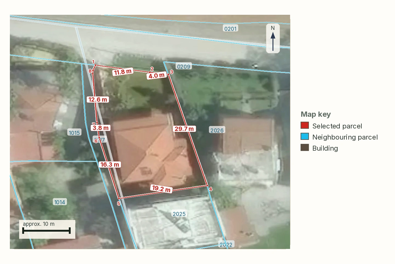
ΚΑΕΚ and the Greek cadastre: reading the code, and the deadline behind it
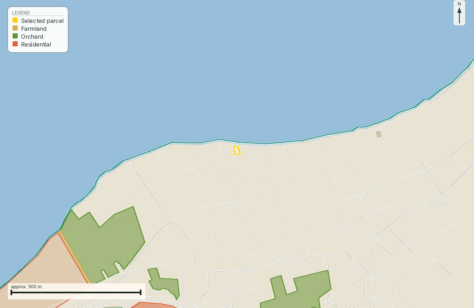
In-plan vs out-of-plan land in Greece: what you can build
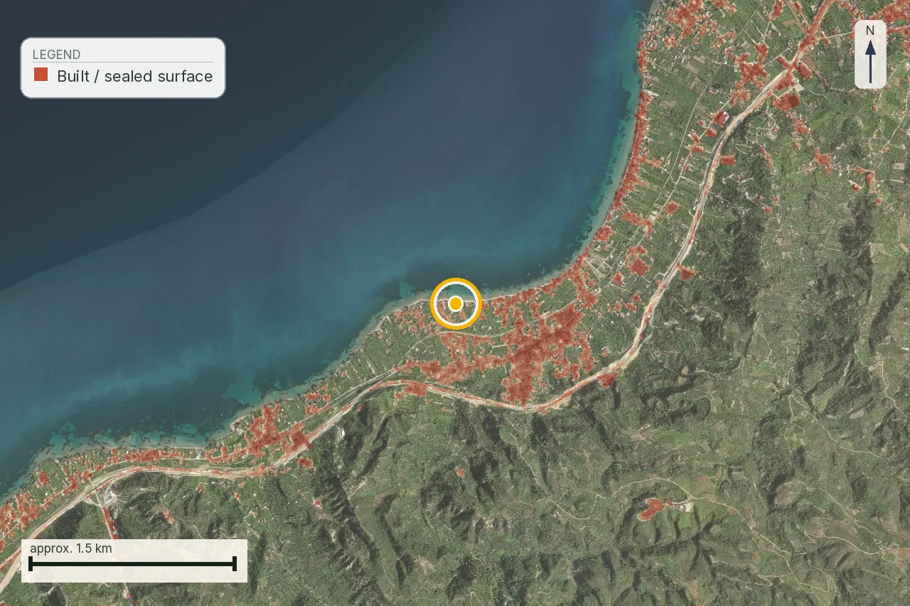
What makes a Greek plot buildable: άρτιο, οικοδομήσιμο and the 4,000 m² rule
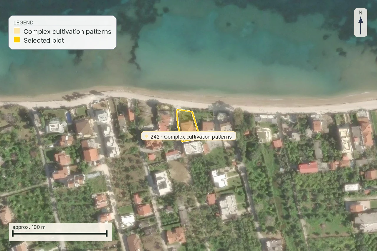
Buying agricultural land in Greece: the checks before you pay
Check this on your own parcel
A LandCheck report shows the ΚΑΕΚ, polygon and recorded area from the Cadastre, the planning layers (plan, settlement, ΖΟΕ) where they exist, forest maps and hazards, each with its source and date. EUR 29 total · VAT included.